Thursday, January 19, 2023

It has been a very stormy January across the country with a parade of storms from west to east.
They have produced rain, strong storms, tornadoes, flooding, snow and wind at times.
The next storm is on the move and will land in our part of Eastern Ohio and Western Pennsylvania tonight and continue to influence our weather through the end of the week.
What kind of storm is on the way?
There is a large storm system pushing across the country. Some media outlets are calling this storm Iggy.
It is producing snow on the north and west side with snow expected from Colorado through Nebraska to South Dakota as well as Kansas and Iowa.
The snow will push into Minnesota and Wisconsin Wednesday night and Thursday. We will get our chance for snow late Thursday night and Friday in Ohio and Pennsylvania.
The storm is also producing heavy rain and severe storms capable of creating strong wind and tornados on the south and southeast side of the system.
Locations along the Mississippi River Valley have the highest risk for severe weather into Wednesday night.
Rain showers and the chance for embedded thunder will be possible Thursday morning.
As temperatures warm into the 50s Thursday, the risk for stronger storms will develop into Thursday afternoon across Northwest Ohio.
There is a chance that any of these storms that develop can produce brief heavy rain, strong wind and isolated tornadoes. Again, this will develop Thursday afternoon in Northwest and Western Ohio.
The line will drift through Ohio into the evening reaching the eastern part of the state after sunset.
The strength of the storms will need to be watched locally as there is a chance these storms may still be strong as they reach our part of Eastern Ohio and Western Pennsylvania Thursday evening into Thursday night near Youngstown, Ohio.
Once the cold front clears the area late evening, the risk for strong storms will exit the region.
Will this strong storm bring snow to the Youngstown area?
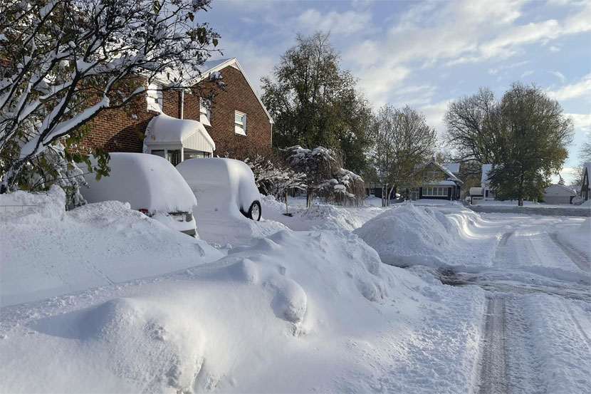
The storm will sweep snow and colder temperatures in behind it Thursday night and into Friday.
Snow showers are expected through the day Friday and into Friday night with blustery wind and temperatures in the middle 30s.
Snow accumulation does not look too heavy at this time, but a quick coating to two inches will be possible Friday and into Friday night. Locally, higher snow totals will be possible with some lake enhancement off of Lake Erie.
Cooler temperatures will stick around into the start of the weekend.
Timing out the storm
Wednesday night: Rain developing overnight.
Low: 34°
Thursday: Rain showers with the chance for thunder through morning. A dry period through afternoon with some sun possible. Warming into the middle 50s.
High: 55
Thursday evening: Rain showers and thunderstorms returning. Chance for a strong storm if the line can hold as it moves into eastern Ohio and western Pennsylvania.
Temperature: Mid 50s
Thursday night: Showers and storms ending with colder air moving in and snow showers returning into the morning.
Low: 34°
Friday: Blustery with snow showers. A coating to two inches possible. Locally higher amounts with lake enhancement.
High: 35
Friday night: Staying colder with scattered snow showers or flurries.
Low: 28
Saturday: Mostly cloudy. Chance for a snow shower or flurry early.
High: 36°
The next storm arrives Sunday and Monday
Another storm in this series of storms will arrive Sunday and Monday. This storm will bring the risk for both rain and snow showers on Sunday and then snow showers on Monday.
The track of this storm will need to be watched as it could drift south creating more snow of our area late weekend.
Turning colder to end the month of January Colder temperatures will continue to push in as each storm system pulls in colder air through the end of the month.
The warm month overall will end on a colder note with temperatures near or below normal
Whether the snowstorm will cause travel disruption has not yet been predicted by the weather forecast department.
Thursday, April 25, 2024
Wednesday, April 24, 2024
Thursday, April 25, 2024