Monday, November 7, 2022

It’s the last month of hurricane season and there are two tropical disturbances in the Atlantic, one of which may bring troubling weather to Florida on Election Day.
The system that may impact Florida is currently bubbling over the southwestern Atlantic, just north of Puerto Rico, where a flood watch is in place through Monday afternoon.
The tropical disturbance has already brought over 5 inches of rain to Puerto Rico and the US Virgin Islands since Saturday – and an additional 1 to 2 inches of rain is forecast for the region Sunday.
Even though drier air is expected to move in (later on Sunday), the soils are very saturated and the rivers are still running higher than normal, the National Weather Service office in San Juan said.
Therefore, any significant rainfall could quickly cause urban and river flooding.
Tropical chances increase for Florida this week
As the tropical disturbance tracks north and away from Puerto Rico today, weather and oceanic conditions are looking more favorable for additional development and strengthening.
Which is why the National Hurricane Center has given this system a high chance of development over the next 48 hours.
Adding that a subtropical or tropical depression is likely to form early this week.
Some forecast models are even hinting that the system could become a tropical storm before it approaches Florida and the Bahamas this week, although some uncertainty remains in the longer-range forecast.
The system is forecast to strengthen as it tracks west of the Bahamas on Monday, however a high-pressure system will also be building across the eastern US at the same time.
This building high pressure will have the tendency to send the area of low pressure westward towards the Florida peninsula, although exactly what this system will look like is still not well understood, the weather service office in Miami said early Sunday.
Regardless of when and how much this disturbance strengthens, impacts across Florida will be felt as early as Tuesday.
High seas, coastal flooding, beach erosion and life-threatening rip currents are some of the most likely impacts from this system, the Miami weather service said.
Land impacts are murkier at the moment as these are more dependent on the exact type of system that will be propagating towards the peninsula.
The type of system matters. If the system remains subtropical the strongest winds and heaviest rainfall associated with it could impact a larger area, farther away from the center.
If the system is a tropical cyclone (depression, storm, or hurricane) the strongest winds and heaviest rainfall could be more impactful but located closer to the center of where the storm tracks.
At the very least, periods of heavy rain are likely Tuesday through Thursday although (weather) model solutions are still divergent on both timing and intensity of this system, the weather service in Miami added.
These weather forecast models are showing at least 3 to 6 inches of rainfall across the Florida peninsula through Thursday, with isolated higher amounts possible.
On Election Day specifically, the current forecast for the Sunshine State calls for breezy to gusty conditions for much of the Florida Peninsula and rain chances will increase throughout the day for central and eastern cities such as Miami north to Daytona Beach and inland toward Orlando and Okeechobee.
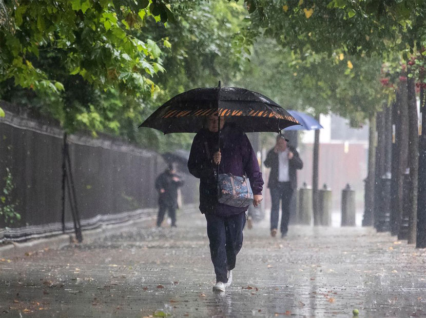
If you plan on voting in person on Tuesday, you may want to pack a windbreaker and umbrella if you have to stand outside.
A second tropical system may develop
There is also a second system in the Atlantic that is worth mentioning because it could impact the name that is given to the system above, if either strengthen enough to gain tropical storm status.
This tropical disturbance is located over the open Atlantic and is not forecast to impact land over the next several days.
Regardless a short-lived tropical depression or storm is likely to form later today while the system drifts slowly over the central Atlantic, the hurricane center said.
If either system if named this week, the first will be given the name Nicole, followed by Owen. Which could be the 14th and 15th named storms of the year.
An average Atlantic hurricane season has 14 named storms, seven hurricanes and three major hurricanes. Currently this season has recorded 13 named storms, seven hurricanes and two major hurricanes (Fiona and Ian).
If there are 14 named storms in a year, the average date of formation would be November 19, however, if two storms are named this month that would be unusual – because November storms are not particularly common.
On average a named storm in November only happens once every 2 to 3 years, according to the National Oceanic and Atmospheric Administration’s National Centers for Environmental Information.
Last year no named storms formed in the month of November, but in 2020 there were three – Eta, Theta, and Lota.
Hurricane Eta was the last November storm to hit Florida when it made two separate landfalls at tropical storm strength.
Since the satellite era – beginning in 1960 – only five tropical systems have made landfall in the Sunshine State – Eta, Mitch, Gordon, Keith, and Kate.
Friday, April 19, 2024
Friday, April 19, 2024