Wednesday, December 7, 2022

A snowstorm is expected to stretch 1,200 miles from Nebraska to Michigan, New York, and Pennsylvania later this week.
This is according to AccuWeather meteorologists who also said that the looming snowfall event is caused by the same storm that disrupted travel in the Western US last weekend.
The storm also has the potential to cause flooding in the Mississippi and Tennessee valleys by Thursday, December 8.
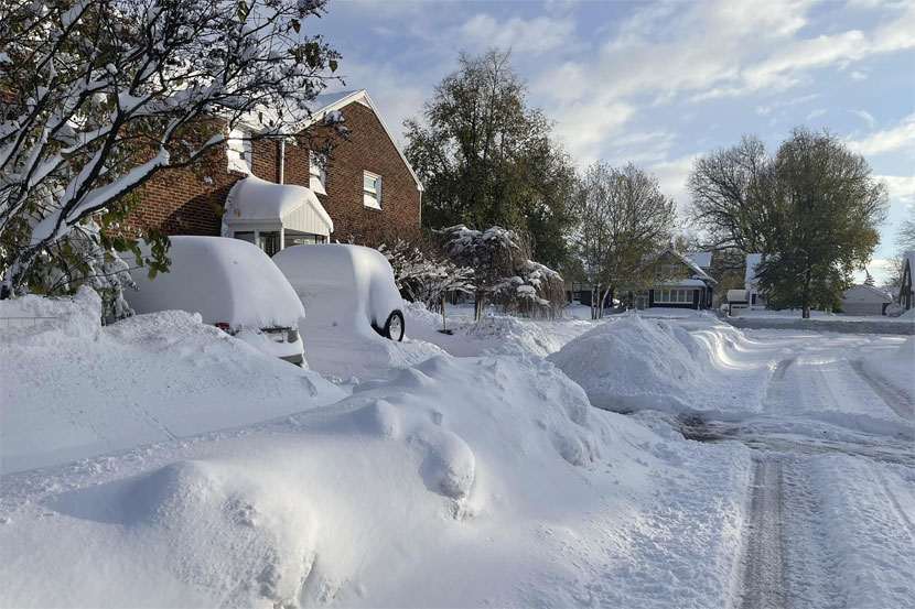
The forecasted adverse weather comes several weeks after a historic lake-effect snowstorm rampaged through the Midwest and Northeast, burying and paralyzing parts of western-northern New York, including the city of Buffalo.
However, temperatures are expected to drop and snowstorms are imminent as the US enters December, drawing near to its 2022 winter season.
Storm-Driven Snowfall
AccuWeather forecasters said the December storm will batter Chicago, Illinois, and Detroit, Michigan, producing snow in both cities before the end of this week, but it will make a stop when it reaches New York City, New York, this weekend.
The storm-driven snow will not be a “blockbuster” when it comes to snowfall accumulations, the forecasters add.
However, some heavily populated areas and well-travel interstates could receive a few inches of snow.
With this, motorists could deal with slippery road conditions.
Precipitation Potential
In addition to the snowy weather, the AccuWeather also provided a short-range outlook of a precipitation potential for rainfall later this week, affecting the cities of Indianapolis, Indiana; Philadelphia, Pennsylvania; Washington, D.C.; Boston, Massachusetts; and New York City.
Still the trajectory and potential impact areas of the storm can still change.
The US weather forecasting company explained where the band of snow will settle would depend on the storm’s track and how much cold air from Canada will arrive in the US.
In addition, the resistance of a warm high-pressure area from the Gulf of Mexico could also influence the snowstorm.
Moreover, the long-range forecast of the company says the potential occurrence of large storms affecting the central and eastern US before Christmas.
During this period, winter storms, blizzard, and snowstorms with freezing temperatures are likely, especially until the winter season in February.
System of Rain and Snow
Local news outlet Fox 6 described the storm as a “broad system of rain and snow,” which will move into the upper Midwest, giving southeastern Wisconsin and most parts of the state widespread snow chances.
The Friday, December 9 storm could potentially bring heavy snowfall or a freezing rain, the local news said.
Back in November, an early-season snowstorm from the said lake-effect snow event across the Northeast brought a winterlike weather, according to a reputed news portal.
While the latest storm system is not expected to reach the level of last month’s snowstorm, there are chances that the combination of rain and snow could cause minor flooding and travel disruption.
Poor visibility could also affect road traffic movement and even flights across the US, especially those with inbound and outbound flights in the Midwest and Northeast.
Thursday, April 18, 2024
Friday, April 19, 2024
Friday, April 19, 2024
Friday, April 19, 2024
Thursday, April 18, 2024