Thursday, July 21, 2022

Large parts of Queensland are anticipating another natural calamity in the days ahead. The Bureau of Meteorology (BOM) sent warning and urged residents to be prepared for the destructive gales and torrential rainfall.
As an east coast depression developed off Queensland’s coast, unruly wind and dangerous surf warnings are in place for large part of Queensland’s coast. The warnings stretch from Townsville to New South Wales border with the system set to primarily cause wave and wind impacts to coastal areas.
Senior meteorologist David Grant said damaging wind gusts of up to 90 kilometres per hour and wave heights of up to 4 metres are forecast in the south east tomorrow and early on Saturday.
Mr Grant said that they will be very localised and very much confined to the coastline south of about K’gari Fraser Island down to the Queensland-NSW border.
Dangerous surf conditions are expected to cause localised damage and coastal erosion at beaches over the next few days.
The biggest hazardous risk during the course of this event will be the wave impacts that they see along the south-east Queensland coast.
Wave heights are expected to peak on either Friday or Saturday, he said.
Mr Grant said low-lying areas along the beachfront could see coastal erosion, including the Currumbin car park on the southern Gold Coast, and parts of Bribie Island, north of Brisbane, but anywhere south of K’gari Fraser Island down to the NSW border was at risk.
A hazardous surf warning is in place for the Fraser Island coast and Sunshine Coast and Gold Coast waters.
‘Unseasonable’ rainfall likely
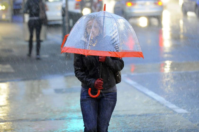
Mr Grant said localised heavy rainfall was possible in central, southern and south-east Queensland today and tomorrow.
He said there was potential for some isolated areas to receive up to 100 millimetres, with the heaviest totals expected tomorrow.
This is unseasonable rainfall, he said.
For example, Brisbane only experiences, during the course of July, average rainfall of around 27 millimetres but in this event, many locations may receive between 25 to 50 millimetres.
July is usually one of the dry months for many locations and because this is an unseasonable rain event … some locations may experience their monthly rainfall within the course of just the next couple of days.
Flood watch ‘not expected’
Mr Grant said riverine and flash flooding is unlikely.
At this stage a flood watch is not expected to be issued for this event, largely we’re not expecting any significant flash flooding or riverine flooding across the state.
This will be regularly reviewed over the next day or two, he said.
Fire and Emergency Services Minister Mark Ryan said the BOM, police and emergency services were closely monitoring the developing weather event.
There’s not expected to be intense heavy rain across the region but there are some impacts associated with waves, dangerous surf, coastal erosion and strong winds, Mr Ryan said.
Queensland Fire and Emergency Services (QFES) Commissioner Greg Leach said rescue crews were ready to respond across the state.
Police are urging boaties to stay out of the water and rock fishers should avoid coastal rock platforms.
The windy conditions will be felt on Norfolk and Lord Howe islands as the system moves offshore on Saturday.
Thursday, April 25, 2024
Friday, April 26, 2024
Friday, April 26, 2024
Friday, April 26, 2024