Tuesday, February 14, 2023

A developing nor’easter moving northward off the coast of North Carolina will pass south and east of Nova Scotia late Monday into Tuesday.
The easterly track is favourable for keeping cold air in place, while at the same time wrapping in moisture off the Atlantic. The combination of the cold and moisture will result in snow.
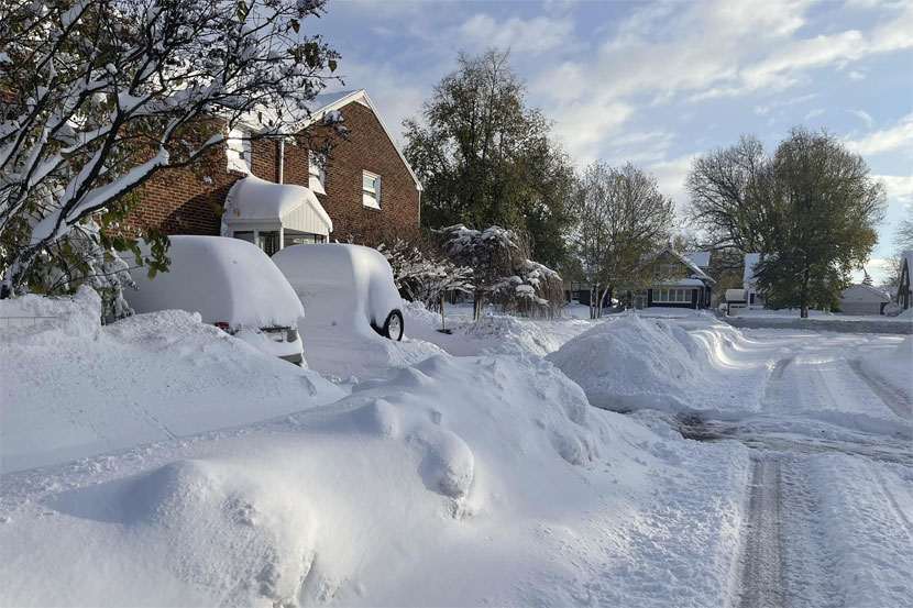
The highest potential for heavier snow, amounts exceeding 15 cm, will be near the Atlantic coastline of Nova Scotia and across a broader area in the east of the province.
As of Monday morning, snowfall warnings are in effect for the South Shore through Halifax County, up the Eastern Shore, Pictou/Antigonish Counties, and into Cape Breton.
The warnings call for snow totals up to 25 cm. Along with snowy road conditions, Environment Canada cautions, as temperatures fall (Monday night), drier snow and blowing snow over exposed areas can be expected.
A winter storm warning is in place for Richmond and Cape Breton Counties.
Heavier snow and higher wind gusts could create even more difficult weather conditions in this part of the province Monday evening into Tuesday morning.
The northerly wind may reach peak gusts of 60 to 80 km/h around the coast and at higher terrain creating more extensive blowing snow.
Special weather statements are in place for Shelburne, Hants, and southern Colchester Counties. Snow amounts in these areas could reach up to 15 cm.
The precipitation in Shelburne County is likely to start as a mix of rain and ice pellets before turning to snow by late afternoon.
The snow will start as early as near noon Monday in Yarmouth and Shelburne Counties. The snow may initially be mixed with some ice pellets and rain.
By 5 p.m. Monday, snow will be falling up and down the Atlantic coastline of mainland Nova Scotia from Yarmouth to Canso. By 9 p.m., the snow will have developed across Cape Breton.
From there, the snow will clear mainland Nova Scotia early Tuesday morning but may linger in Cape Breton until near noon on Tuesday.
Scattered areas of lighter snow and flurries are possible in other parts of the Maritimes as the system passes with much lower snow accumulations expected.
A north/northeast wind will accompany the falling snow. The wind will increase to become sustained 20 to 30 km/h with gusts reaching 40 to 60 km/h.
While below warning criteria, the wind is enough to get the snow blowing around — further reducing visibility.
This is especially true as temperatures get colder Monday evening and night.
Thursday, April 25, 2024
Friday, April 26, 2024
Friday, April 26, 2024
Friday, April 26, 2024