
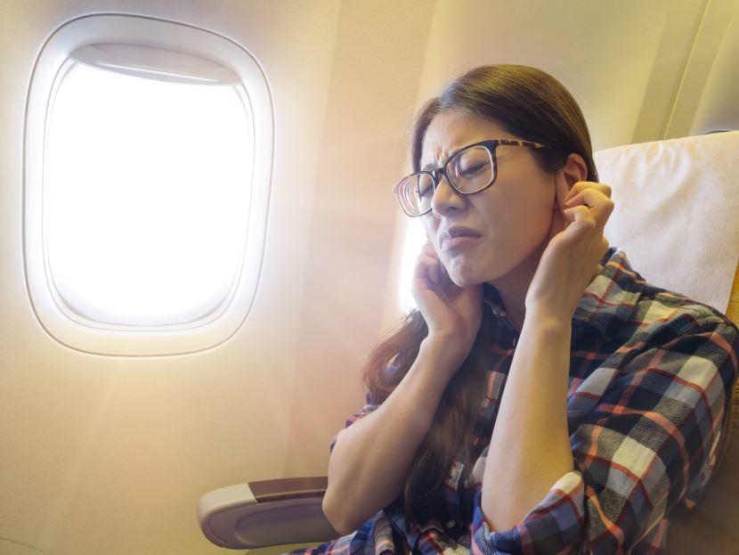
Image generated with Ai
As millions of Americans embark this summer to big destinations including Denver, Miami, Chicago, Phoenix, Atlanta, Los Angeles, and the New York City area for their annual big holiday, air travel experts are ringing alarm bells about a worrisome recent trend: turbulence is higher — in frequency and severity. And it is no longer just limited to unpleasant weather bumps. Smooth sailing can hide perils.
For many travelers, turbulence has long been seen as a minor annoyance. But recent incidents, including one in May where five passengers were injured aboard an American Airlines flight from Miami to Raleigh-Durham, are a sharp reminder that turbulence can be more than a jostling inconvenience. It can lead to real injuries — especially when unexpected and severe.
Advertisement
But what’s really going on above our heads? And what should summer flyers know before boarding?
Turbulence is not a single phenomenon — it’s a catch-all term for unstable air that disrupts a plane’s smooth path. According to the Federal Aviation Administration (FAA) and National Weather Service (NWS), there are three primary types:
Advertisement
According to the National Center for Atmospheric Research (NCAR), CAT is notoriously hard to detect and avoid, even with modern radar systems.
Professor Paul Williams, a renowned atmospheric scientist at the University of Reading in the U.K., has been sounding the alarm. Using satellite data dating back to 1979, Williams and fellow researchers have found that severe clear air turbulence over the United States has increased by 41% over the last four decades.
And climate change might be the key culprit.
“Warming temperatures are causing stronger wind shears in the jet stream,” Williams explained in various peer-reviewed studies cited by the Intergovernmental Panel on Climate Change (IPCC). These wind shears — abrupt changes in wind speed or direction — are a major driver of turbulence.
This means passengers may face more unexpected and powerful jolts, even in regions and seasons traditionally known for calmer skies.
While clear air turbulence often peaks in winter, summer turbulence remains a serious concern — primarily due to storm-related convective turbulence.
The National Oceanic and Atmospheric Administration (NOAA) notes that summer thunderstorms are especially potent in states like Florida, Georgia, and the Midwest. These storms can grow rapidly and shift unexpectedly, creating dangerous flight conditions.
Fortunately, pilots and air traffic controllers can often spot these storm systems using radar and visual cues. However, they can still pose a risk when planes fly too close, or when the storm develops after takeoff.
Williams explains, “From the cockpit, pilots can sometimes see the turbulence associated with storms — both visually and using onboard electronics. But even then, the turbulence can extend far from the cloud base, so pilots need to fly a considerable distance away to avoid it entirely.”
Here’s what you can do to minimize your risk and stay safe on board:
The FAA continues to invest in turbulence detection and avoidance systems. New technologies, like automated pilot reports (AIREPs) and enhanced satellite weather mapping, are helping crews make better-informed decisions. Meanwhile, the National Weather Service’s Aviation Weather Center (AWC) provides up-to-date forecasts and pilot alerts for turbulence conditions.
Airlines are also revising internal policies on turbulence reporting, and some have introduced more detailed preflight briefings for crew members.
However, experts agree that despite all these advancements, not all turbulence can be avoided. That’s why personal awareness and preparedness are key.
If you’re flying this summer to or from high-traffic cities like Denver, Miami, Chicago, Phoenix, Los Angeles, Atlanta, or New York City, be especially cautious. These are not only busy airspaces but also lie along routes known for mountains, storms, or strong jet streams — all contributing factors to turbulence.
That doesn’t mean you should cancel your trip — far from it. But you should fly smart.
Flying can feel scary when turbulence hits, especially unexpectedly. But understanding what causes it — and how it’s changing — can shift the experience from fear to preparation.
Skies can be a little rockier, but with better forecasting tools, evolving avionics technology, and wiser passenger behavior, we can fly a little safer. So whether you’re bound for Miami’s sunny shores or into the Rockies to trek, buckle up — and appreciate that knowledge is your best traveling buddy at 30,000 feet.
Advertisement
Tags: air travel safety summer, airplane turbulence forecast, clear air turbulence increase, Denver turbulence flight, FAA turbulence safety tips, flight turbulence map USA, Miami to LAX turbulence, NOAA storm turbulence forecast, NWS aviation weather, Paul Williams turbulence study, summer flying safety, turbulence summer flights 2025
Advertisement
Advertisement













Saturday, September 5, 2026
Friday, September 4, 2026

Saturday, September 5, 2026

Saturday, September 5, 2026

Thursday, September 3, 2026

Wednesday, September 2, 2026

Saturday, September 5, 2026

Saturday, September 5, 2026


