Monday, August 14, 2023

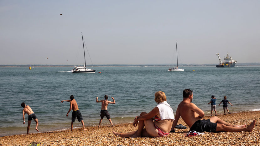
Some parts of the UK are expected to temperatures soaring above 30C next week, making south-east England hotter than California, the Met Office has said.
After a blustery weekend, rising temperatures are forecast as a result of high pressure that is expected to build up through the week. The mercury could hit about 32C by Friday in the south-east – at least 6C higher than the temperature forecast for the same day in Los Angeles.
For Sunday at least, however, Britain can expect a continuation of yesterday’s patchy weather conditions – a mix of sunny spells and showers.
Showers over England and Wales will gradually ease but a fresh weather front bringing rain will arrive in the south-west later, while it will be generally breezy around coastal areas.
By evening the showers in the north will be fading but thundery outbreaks are still likely to continue near Shetland with heavy downpours expected to spread across Wales and England.
The Met Office says “heavy and persistent” rain is expected in parts for Monday, and it has now issued a yellow warning for rain covering most of Wales and a swathe of northern England from Manchester to Newcastle.
The warning comes into effect from midnight and runs until 9pm on Monday, noting that there is “a small chance that homes and businesses could be flooded”.
Earlier experts said parts of north Wales could see up to two inches of rain (50mm) – equivalent to about half a typical August’s rainfall on Monday alone.
The weather conditions in England and Wales are expected to improve through the week with increasingly pleasant sunny spells and fewer showers.
Met Office forecaster Dan Stroud said that they are looking at the possibility of reaching the low 30s later in the week, most likely on Friday, probably in and around London, running into East Anglia and other parts of the south and east.
High-pressure building from the middle of the week and will tap into some tropical continental air, which will draw up some very warm, locally hot air that will allow temperatures to climb steadily, Mr Stroud said.
By the time they get into Friday and maybe into Saturday they stand a chance of breaking into the 30s.
A spell of sunny, very warm to hot weather is likely to continue till 26 August, according to the Met Office’s longer-term forecast, which it says is likely due to the high pressure to the east and low pressure close to the west and southwest.
As a result, many areas in the south and southeast could see temperatures about 30C.
Temperatures are likely to trend downwards towards the end of August and into early September, with a probability for thunderstorms developing within warm interludes, especially in the south.
Tags: heatwave, UK Met Office, UK weather, weekend
Sunday, April 28, 2024
Sunday, April 28, 2024
Sunday, April 28, 2024