Friday, March 1, 2024

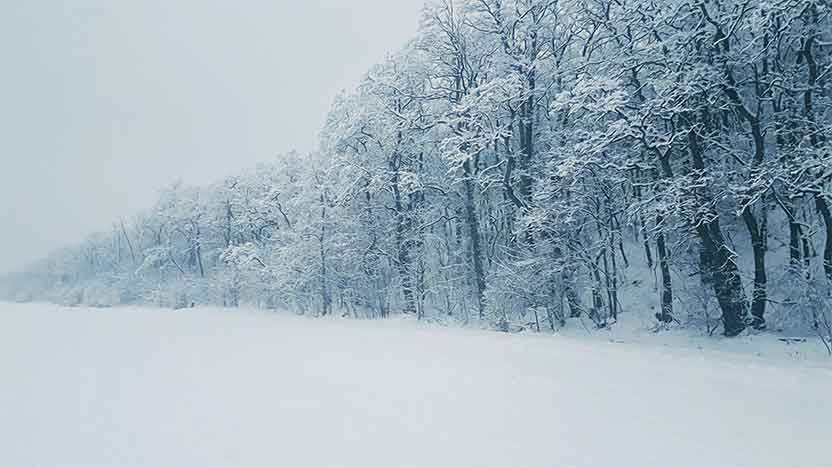
The upcoming weekend in the Sierra Nevada is anticipated to be marked by a significant weather event, as forecasts predict the arrival of this season’s most intense Pacific storm. This meteorological phenomenon is expected to deposit as much as 10 feet (approximately 3 meters) of snow across the region, necessitating closures of public spaces such as Yosemite National Park and certain ski resorts around Lake Tahoe for safety reasons.
Initiating its journey into the area on Thursday, the storm’s peak impact is anticipated to disrupt major transportation routes and potentially cause power disruptions from Friday afternoon into Saturday. A widespread blizzard warning has been issued, spanning a 300-mile area from north of Lake Tahoe down to south of Yosemite National Park, effective through Sunday morning.
The National Weather Service in Reno has advised against travel in the Sierra, suggesting residents and visitors to remain where they are until the storm passes. Expected snowfall amounts could reach up to 10 feet in the higher elevations surrounding Lake Tahoe, with the lake’s surrounding communities possibly seeing 3 to 6 feet of snow, and the Sierra’s eastern valleys, including Reno, could see more than a foot of snowfall.
Wind gusts may surpass 115 mph over the Sierra crests, with lower elevations experiencing winds up to 70 mph, leading to true blizzard conditions as described by UCLA climate scientist Daniel Swain. These conditions include significant snowfall coupled with strong winds, raising concerns about power outages and impeded road clearance efforts.
Avalanche warnings have been issued for the backcountry areas around Lake Tahoe and extend to regions around Yosemite National Park down to Mammoth Lakes. Yosemite National Park has advised visitors to evacuate by noon Friday, with closures expected to last at least through Sunday noon, subject to extension depending on conditions. In some areas, snowfall could exceed 7 feet.
Ski resorts are adjusting to the storm, with Alpine Meadows closing on Friday and Palisades Tahoe planning limited operations. The Central Sierra Snow Lab anticipates potential record-breaking snowfall, which could exceed the daily maximum recorded in 1989.
Travel on Interstate 80 has been restricted, with chain requirements in place and temporary closures for cleanup operations. Despite the immediate challenges, the snowfall is seen as beneficial for California’s water supply, with the Sierra snowpack playing a critical role. The ski industry, facing financial losses due to climate change, views the storm as an opportunity to extend the skiing season, despite the likelihood of intermittent closures.
As the community prepares, reactions range from proactive measures by some to skepticism by others, recalling past forecasts that didn’t materialize. Yet, the consensus acknowledges the seriousness of the impending storm, marking a rare blizzard warning for the area.
Sunday, April 28, 2024
Sunday, April 28, 2024
Sunday, April 28, 2024