Monday, July 11, 2022

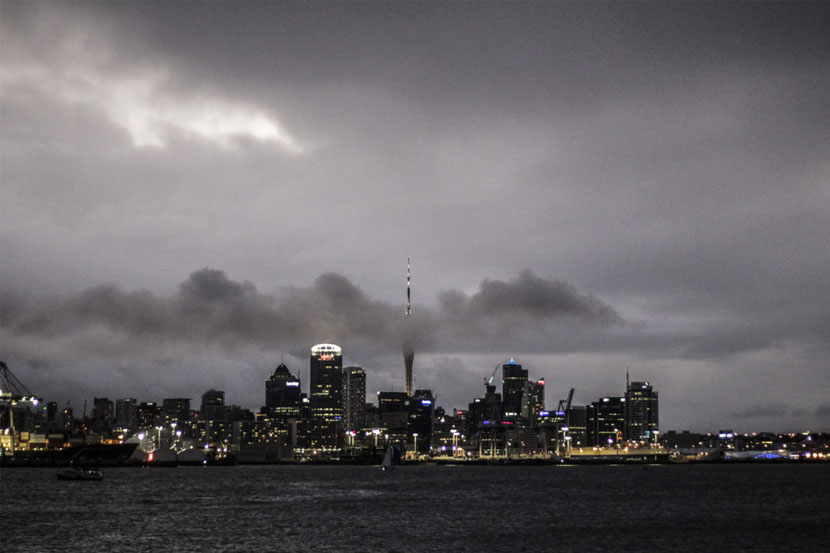
Auckland commuters are being urged to delay morning travel tomorrow as a fierce storm closes in on the city.
The Met Service has issued a strong wind warning for Auckland from 2am until 9am on Tuesday, with gusts of up to 110 km/h forecast to strike during the morning rush hour.
This comes after Waka Kotahi NZ Transport Agency said there was a chance the bridge will close on Tuesday, and motorists should avoid the area, or expect delays.
These wind speeds surpass the threshold for safe use of the bridge, and could result in multiple closures over a one-two hour time period.
Motorists are urged to plan ahead as the predicted closures could coincide with peak morning traffic.
Drivers of high-sided vehicles and motorcyclists are encouraged to avoid the bridge while wind warnings are in place and use the Western Ring on State Highways 16 and 18.
The warnings come as New Zealand battens down the hatches in preparation for some wild weather with more than 40 warnings and watches issued nationwide.
From the top of the North Island to the bottom of the South there are gale-force winds, torrential rain and snow forecast.
The harsh weather is the result of a deep low moving across New Zealand, bringing with it associated fronts which cause the conditions.
Met Service is warning people the weather will be “a significant event”.
Manawatu District Council is prepared for the coming storm, by purchasing 5000 sandbags and 10 tonnes of sand, which will be delivered to Victoria Park today.
Between Coromandel and Bay of Plenty, people can expect winds approaching gale-force and up to 110mm of rain, with rates of 15mm per hour at times.
Flooding is likely for many parts across the Waikato region. This is due to the heavy rain falling on already saturated catchments.
River flooding along low-lying coastal areas may also be exacerbated over high tide periods for all Waikato region coasts. The regional council has asked residents to stay vigilant for localised flooding and slips caused by the high river and stream levels.
Gisborne to Hawke’s Bay can expect similar conditions, with heavy rain. And at the bottom of the North Island, Wellington is set to experience gale-force winds until at least Wednesday morning.
The west coast of the top of the South Island is also forecast to experience severe winds. They are expected to rise to a gale gusting at 140km/h.
The Tararua Ranges will be drenched by heavy rain and, across Cook Strait, Nelson and Marlborough districts will be battered by rain and wind.
Canterbury’s high country is under a heavy snow and rain watch, with heavy rain expected to turn to snow above 400m.
Central Otago and the Lakes district can expect similar conditions. Several roads have heavy snow watches in place between Tuesday and Wednesday.
These are: Lindis Pass, the Crown Ranges, Arthur’s Pass, Porter’s Pass, and the Dunedin and Waitati Highway.
The wintry blast is being attributed to an “atmospheric river” snaking across the country.
These long, thin filaments of atmospheric moisture are capable of carrying double the average flow of the Amazon River – or 200 times that of our largest river, the Clutha/Mata Au.
Around 40 atmospheric rivers make landfall here every year, with four or five classified as strong and usually hitting around summer.
The coming system could bring 100mm to 120mm of rainfall between 8pm Monday and 3pm on Tuesday, with peak rates of 15mm to 25mm an hour.
Tags: Auckland Tourism, Met Service
Thursday, April 25, 2024
Friday, April 26, 2024
Friday, April 26, 2024
Friday, April 26, 2024
Friday, April 26, 2024