
New York Aligns Connecticut and More US States as Floods Disrupt Travel Throughout Major Highway

Updated
Published
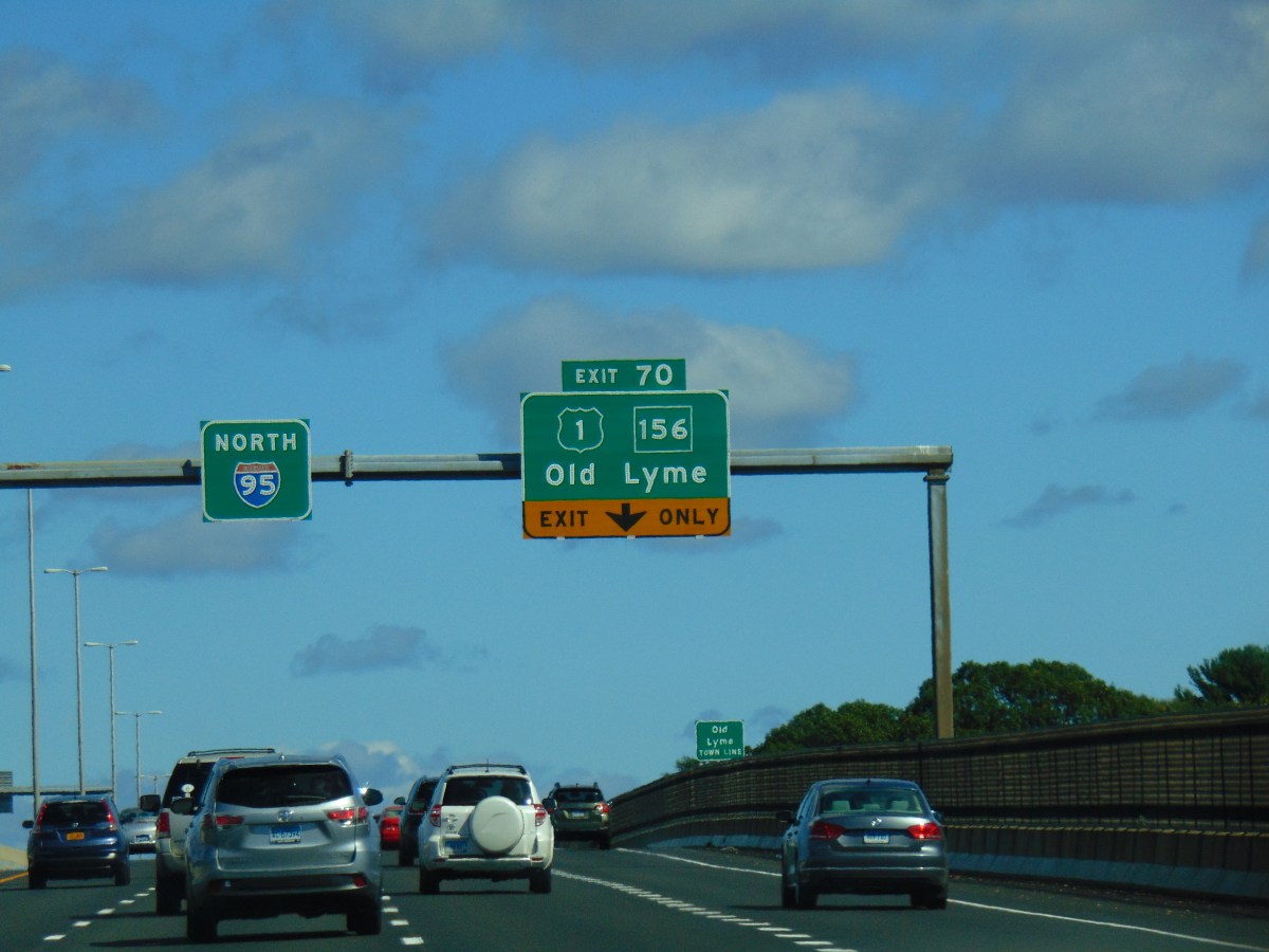
Following heavy thunderstorms that caused significant flooding on September 13, 2026, New York alongwith Connecticut, Massachusetts, and other US states as floodwaters hinder traffic across the major highway network, the I-95. Drivers, commuters, and travelers faced hazardous conditions as the storm system passed through the Northeast. Additionally, a number of municipalities’ drainage systems were overloaded by significant rainfall, necessitating a prompt response from emergency personnel. As water levels quickly increased, authorities advised people to stay away from flooded highways. In the wake of the most recent severe weather disruption, officials closely monitored weather developments to protect residents and maintain essential services throughout the Northeast. This floods affected important transportation routes and brought attention to growing concerns about the effects of extreme rainfall throughout the region. Recovery operations started in affected areas.
Why did flooding spread across the I-95 corridor on September 13, 2026?
A powerful burst of heavy rain swept across the Northeast on Sunday morning, September 13, 2026, triggering flash flooding from northern New Jersey to Rhode Island. The storm system moved slowly through the region, allowing repeated rounds of thunderstorms to release intense rainfall over the same communities.
The most severe conditions developed during the morning hours, when rainfall rates reached between 1 and 2 inches per hour in several locations. In parts of coastal Connecticut, rainfall became even more intense, with some areas receiving several inches within a short period.
The floods affected one of the busiest transport corridors in the United States. Interstate 95 connects major cities including New York, Philadelphia, Boston and Washington, making weather disruptions along this route particularly significant for commuters, businesses and travellers.
Advertisement
Advertisement
The National Weather Service issued flash flood warnings across parts of the Northeast as storms intensified. Officials warned residents to avoid flooded roads, as rapidly moving water created dangerous conditions for vehicles and pedestrians.
The combination of extreme rainfall, urban development and limited drainage capacity increased the severity of the flooding. Roads, underpasses and low-lying neighbourhoods quickly became vulnerable as stormwater systems struggled to manage the sudden surge.
Advertisement
Advertisement
How badly was New Jersey affected by the September 13 flooding?
New Jersey experienced some of the earliest and most visible impacts from the storm on Sunday, September 13, 2026. Northern parts of the state, including communities near the I-95 corridor, recorded flooded roads, stranded vehicles and emergency responses as heavy rain moved through the region.
In Paterson, New Jersey, emergency crews responded to rising floodwaters and rescued around 20 people, including residents trapped by rapidly increasing water levels. The incident highlighted how quickly conditions changed during the storm.
Advertisement
Advertisement
The flooding also disrupted community activities. In Paramus, a half marathon held on September 13 was affected when participants encountered unexpected floodwaters along the route. The event became an example of how rapidly changing weather conditions interrupted outdoor activities across the state.
Power supplies were also affected. Approximately 5,600 homes and businesses experienced power outages during the severe weather, adding another challenge for communities dealing with flooded streets and transport problems.
Authorities continued urging motorists not to drive through standing water. Emergency officials stressed that flooded roads can conceal hazards, including damaged surfaces and fast-moving currents.
Why did Connecticut become the centre of the flooding emergency?
Connecticut experienced some of the most severe floods during the storm, particularly along the coastal I-95 corridor. The hardest-hit areas included Fairfield County communities such as Westport and Norwalk, where intense rainfall overwhelmed drainage systems.
Advertisement
Advertisement
During the peak period on Sunday morning, September 13, some locations received approximately 6 to 7 inches of rainfall. Rainfall rates reached around 3 to 4 inches per hour in parts of coastal Connecticut, creating dangerous flash flood conditions.
Westport was among the communities significantly affected. Emergency responders carried out 13 rescues involving people trapped in vehicles, while flooding affected roads, businesses and public facilities.
In Bridgeport, emergency crews used boats to assist residents in flooded areas. Photos from emergency departments showed rescue teams helping people escape homes surrounded by rising water.
The storm also affected public transport. Metro-North and Amtrak services experienced delays and cancellations, disrupting travel between Connecticut, New York and Massachusetts. Tweed New Haven Airport temporarily closed its departures terminal because of flooding impacts.
How were New York, Rhode Island and Massachusetts impacted?
New York also experienced floods as the storm moved through the region on September 13. Areas including parts of Westchester County and the New York metropolitan area faced flooded roads and emergency responses.
The impact was especially significant because the region relies heavily on interconnected transport networks. Flooding in one area quickly affected road traffic and commuter movement across neighbouring states.
Advertisement
Advertisement
Further north, Rhode Island and Massachusetts remained under flood concerns as the storm system moved through New England. Forecast discussions warned that additional heavy rain could create rapid flooding, particularly in urban areas and locations with poor drainage.
The storm demonstrated how a single weather system can create widespread disruption across multiple states. Although rainfall intensity varied, communities along the Northeast corridor faced similar challenges, including flooded roads, transport interruptions and emergency operations.
How did the flooding affect US travel and transportation?
The floods created major travel challenges across the Northeast on Sunday, September 13, 2026. Road closures, flooded highways and hazardous driving conditions affected motorists throughout the region.
Rail travel was also disrupted. Flooding affected parts of the Northeast rail network, creating delays and cancellations for passengers travelling between major cities.
Air travellers also experienced disruption as severe weather affected airport operations. Across the United States, thousands of flights faced delays on September 13 due to severe weather conditions, with Northeast airports among those affected.
Passengers were advised to check airline and rail updates before travelling and allow additional time for journeys. Authorities also recommended avoiding flooded routes and following official safety instructions.
Advertisement
Advertisement
What happened after the flooding and what is the recovery outlook?
By Monday, September 14, 2026, communities across the Northeast began assessing damage and starting recovery operations. Officials inspected roads, infrastructure and public facilities affected by the storm.
In Connecticut, recovery continued after severe flooding damaged areas including Westport and surrounding communities. Sherwood Island State Park partially reopened after crews carried out repairs following flood damage.
The event highlighted the growing challenge of managing intense rainfall in densely populated areas. While storms may pass quickly, the effects can continue for days as communities repair infrastructure and clear flood damage.
Residents and travellers across the Northeast were reminded to remain cautious even after rainfall ended, as standing water and damaged roads can continue creating risks.
The September 13 flooding event showed how rapidly severe weather can disrupt one of America’s busiest transport corridors, affecting communities from New Jersey to Rhode Island within only a few hours.
Advertisement
