
Unlock Greater Athens: How Attica Is Redefining 12-Month Greek Tourism

Published
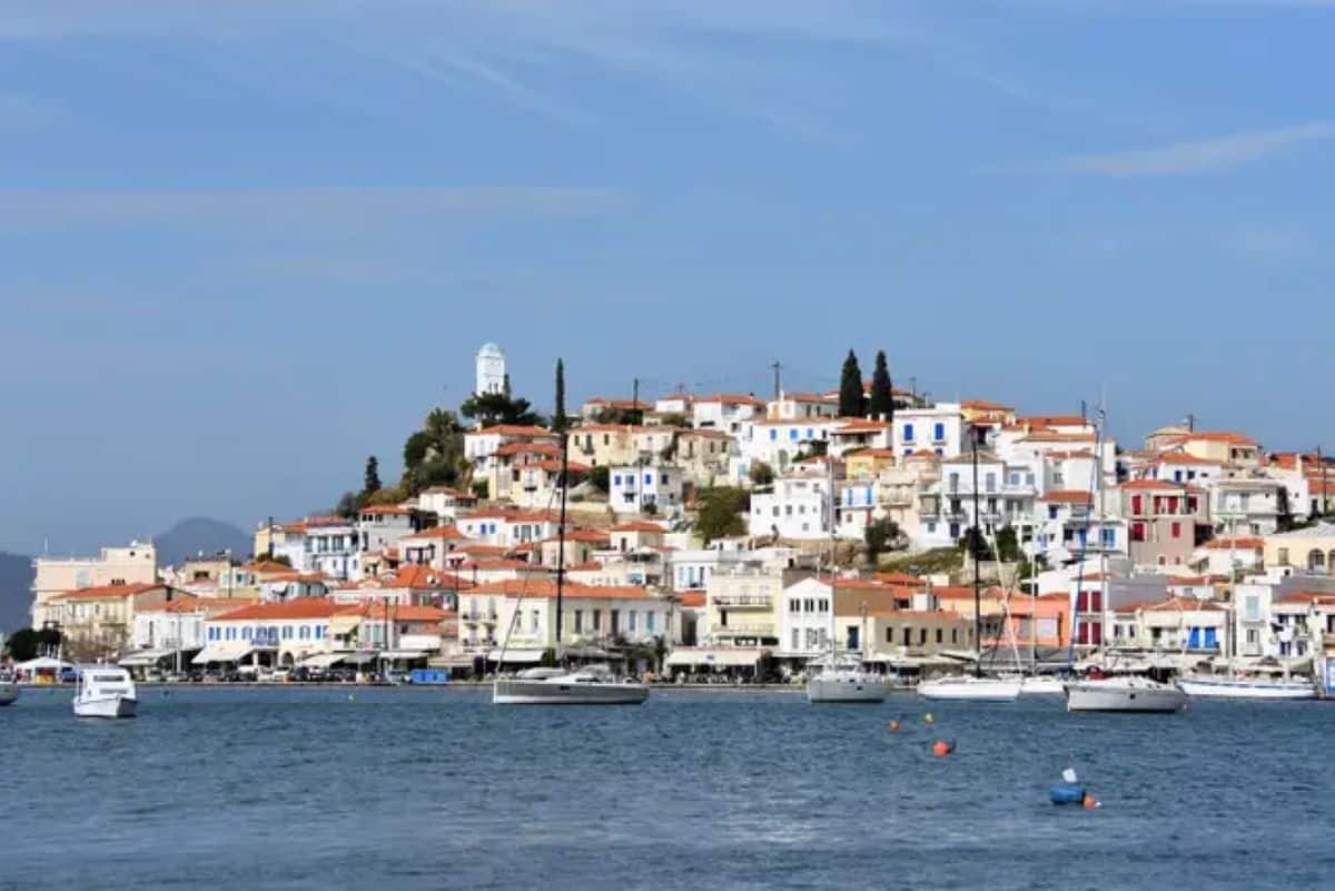
For decades, international travel to the Greek capital centered tightly on downtown archaeological landmarks, generating extreme summer peaks while leaving surrounding regional assets underutilized. The holistic campaign of the Regional Authority of Attica counters this imbalance by diversifying itineraries across geography and season.
| Traditional Athens Model | Holistic “Phenomenon” Model |
| Summer-Centric: Heavy reliance on June–August arrivals | 12-Month Flow: Distributed arrivals across autumn, winter, and spring |
| Monocentric Footprint: Concentrated around the Acropolis and Plaka | Regional Spread: Incorporates coastline, four mountain ranges, and islands |
| Short Stays: 1–2 night stopovers before island ferry departures | Extended Journeys: 4–7 night stays based in the Attica peninsula |
| Single-Focus Touring: Archaeological sightseeing only | Multi-Modal: Heritage, marine recreation, agritourism, and trail sports |
Official data from the Hellenic Ministry of Tourism underlines that geographic dispersal safeguards cultural monuments while supporting local businesses during shoulder and off-peak months.
Advertisement
Advertisement
4 Essential Attica Regions to Add to Your Itinerary
| Compass Axis | Sub-Region | Primary Focus & Signature Assets |
| North (Highlands) | Mount Parnitha | Alpine trails, national park refuge, eco-tourism |
| Central (Urban Core) | Athens Metro Core | Classical archaeology, museums, historic neighbourhoods |
| East (Inland Valleys) | Mesogeia Plain | Ancient wine roads, Savvatiano estates, olive groves |
| South (Coastline) | Athens Riviera | Coastal promenades, Lake Vouliagmeni, Cape Sounio |
| Southwest (Maritime) | Saronic Islands | Car-free island harbours, maritime heritage (Aegina, Hydra) |
1. The Athens Riviera & Cape Sounio
Extending south from the city centre to Attica’s southern tip, the coastal corridor offers urban beaches, the mineral-rich brackish waters of Lake Vouliagmeni (maintained at a constant 22°C to 29°C year-round), and modernized yacht marinas in Flisvos and Glyfada. At the southernmost point sits the 5th-century BC Temple of Poseidon at Cape Sounio, one of the Mediterranean’s most prominent sunset viewpoints.
2. The Saronic Gulf Islands
Piraeus serves as the gateway to five major Saronic islands, all reachable in 40 to 120 minutes by high-speed hydrofoil or conventional ferry:
Advertisement
Advertisement
- Aegina: Renowned for pistachio orchards and the well-preserved classical Temple of Aphaia.
- Hydra & Spetses: Vehicle-free havens preserved by strict architectural preservation laws, ideal for tranquil spring and autumn city breaks.
- Poros & Salamina: Rich in maritime naval history and pine-fringed coastal bays.
3. Mesogeia Plain Agritourism & Wine Routes
East of Mount Ymittos lies the Mesogeia plain, one of the world’s oldest continuously cultivated wine-producing regions. Today, third- and fourth-generation winemakers focus on the indigenous Savvatiano grape, turning dry, climate-resilient white varietals into international award-winners. Cellar doors and olive presses throughout Koropi, Paiania, and Spata offer farm-to-table culinary tastings across every season.
4. Attica’s Mountain Ranges
Four mountain ranges encircle the metropolitan basin, offering trail running, mountain biking, and eco-lodges within 30 to 60 minutes of Syntagma Square:
Advertisement
Advertisement
- Mount Parnitha: Designated National Park featuring red deer populations, marked alpine trails, and the Bafi and Mpafi mountain refuges.
- Mount Ymittos (Hymettus): Famous for thyme honey, Byzantine monasteries (Kaisariani), and panoramic urban-to-sea ridgeline views.
- Penteli & Aigaleo: Historic marble quarries and climbing crags suitable for autumn and winter outdoor excursions.
Seasonal Planning Guide for Attica
| Sub-Region | Key Highlights | Transit Access | Best Months |
| Athens Riviera | Lake Vouliagmeni, Cape Sounio, coastal marinas | Tram Line 7, Regional KTEL Bus | April – November |
| Saronic Islands | Temple of Aphaia, car-free harbours, pine coves | Ferries from Piraeus (40–120 min) | March – December |
| Mesogeia Plain | Savvatiano wine roads, organic olive groves | Suburban Railway (Proastiakos), car | Year-Round |
| Attica Mountains | Mount Parnitha National Park, Kaisariani trails | Cable car (Parnitha), Metro M3 + bus | October – May |
Transportation & Logistics
Attica’s integrated public transit network makes car-free regional exploration practical:
- Airport & Harbour Links: Metro Line 3 (Blue) runs directly from Athens International Airport (ATH) through central Syntagma to the Port of Piraeus in 55 minutes without transfers.
- Coastal Transit: Tram Line 6 and Line 7 run along the southern waterfront from Syntagma and Piraeus down through Glyfada and Voula.
- Regional Excursions: KTEL Attikis long-distance coaches depart central Athens for Cape Sounio, Marathon, and the eastern port of Rafina.
What is the “Phenomenon” campaign by the Regional Authority of Attica?
The “Phenomenon” initiative is a strategic promotional framework launched under the motto “Greater Athens: More than a region, a phenomenon.” It repositions the broader Attica peninsula as an all-season destination by spotlighting its coastline, mountain parks, Saronic Gulf islands, and ancient agricultural corridors alongside central Athens.
Advertisement
Advertisement
Why is Greater Athens moving beyond the classic Acropolis itinerary?
The shift addresses chronic overtourism in the historic core, eases summer monument congestion, extends average visitor stays from 2.1 to 4+ nights, and channels tourism revenue directly into suburban municipalities, rural winemaking valleys, and island ports.
How does this change travel planning for international visitors?
Instead of using Athens as a brief 48-hour transit stop before island-hopping, travelers can construct complete, multi-day itineraries year-round entirely within Attica—combining classical archaeology with coastal swimming, alpine hiking, and vineyard tours.
Advertisement
