
Albuquerque Joins Santa Fe, Ruidoso and More Central and Southern US Cities Facing Tsunami Like Flood Threats Creating Travel Chaos

Updated
Published
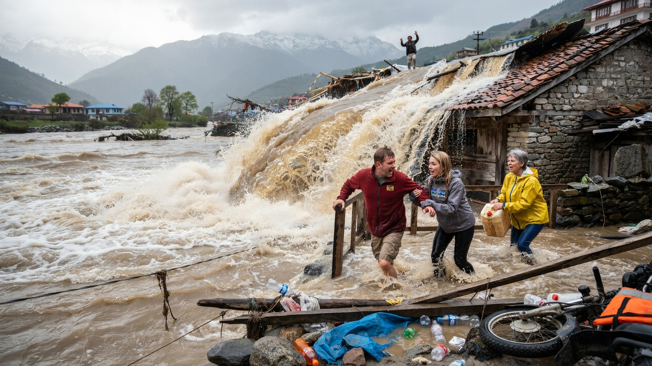
Image generated with Ai
Albuquerque joins Santa Fe, Ruidoso and more Central and Southern US cities facing a tsunami-like flood threat. Meanwhile, torrential rain is creating travel chaos across vulnerable areas. As storms intensify, roads, businesses and attractions face disruption. Therefore, travellers should monitor warnings, avoid flooded routes and check transport updates before travelling.
A significant weather disruption is developing across the central and southern United States, with residual moisture from two Pacific hurricanes combining with a western storm system to create a complex flooding threat.
The developing pattern is particularly important for travel and tourism because rainfall is expected to affect roads, communities, airports and outdoor attractions across parts of the Southwest, Texas and the Plains. Some areas could receive several inches of rain, while locally higher totals remain possible where thunderstorms repeatedly move over the same locations.
AccuWeather reported on 30 September that moisture associated with former Hurricane Odalys and Hurricane Polo was combining with an incoming trough from the West. Meteorologists warned that the interaction could produce dangerous rainfall and rapid flooding in vulnerable areas.
Advertisement
Advertisement
Why is a triple flood threat developing across the US?
The flooding threat is being driven by three interacting weather components rather than a single storm.
First, moisture remaining from Hurricane Odalys in the eastern Pacific has moved northwards into the southwestern United States. Secondly, residual moisture and energy from Hurricane Polo are contributing additional atmospheric moisture after the storm weakened while crossing northern Mexico.
Advertisement
Advertisement
The third element is a dip in the jet stream, or upper-level trough, moving eastwards from the western United States.
Together, these systems are creating a moisture-rich environment capable of producing prolonged and locally intense rainfall. AccuWeather meteorologists described the setup as a triple-threat combination involving moisture from Odalys, moisture from Polo and the incoming western trough.
This distinction matters for travellers because rainfall may not arrive as one continuous storm. Instead, repeated thunderstorms and shifting corridors of heavy rain can create rapidly changing conditions along major transport routes.
Which US regions face the greatest rainfall threat?
The Southwest and southern Plains are among the principal areas at risk, with the rainfall focus expected to shift eastwards during the week.
Parts of New Mexico could face particularly dangerous flash-flooding conditions. AccuWeather Chief Meteorologist Jon Porter said some locations in New Mexico could experience their most dangerous flash-flooding risk in five years or more.
The threat is then expected to expand towards eastern Texas and the wider Plains.
Advertisement
Advertisement
Rainfall of around 4–8 inches is possible in two separate areas, according to AccuWeather, while locally higher totals could occur where thunderstorms repeatedly affect the same locations or become enhanced by mountainous terrain.
The publication cited an AccuWeather Local StormMax™ rainfall total of 18 inches, highlighting the possibility of exceptionally high local accumulations even if such an amount is not widespread.
For tourism businesses, the geographic spread is significant. Roads linking cities, airports, national parks and rural destinations could all be affected when intense rainfall overwhelms drainage systems or causes streams to rise rapidly.
Why could flooding develop quickly despite drought?
One of the unusual aspects of this event is that several affected areas have been experiencing significant drought.
Dry conditions do not necessarily eliminate flood risk. Prolonged drought can harden and compact soils, reducing their ability to absorb intense rainfall quickly.
When rainfall arrives at a rate of several inches per hour, water can therefore run rapidly across the surface instead of soaking into the ground.
Advertisement
Advertisement
AccuWeather warned that rainfall rates during the most intense periods could reach 2–3 inches per hour. Such rates can overwhelm drainage systems, produce sudden runoff and cause flash flooding, particularly in areas with steep terrain.
This creates an important travel risk. A road that appears passable before a storm can become hazardous within a short period as water accumulates, visibility falls and streams rise.
Travellers should therefore avoid relying solely on conditions observed earlier in the day and should check updated weather and road information before departing.
How could the weather affect travel across Texas and the Plains?
Travel disruption is expected to be one of the immediate consequences of the heavy rainfall.
The shifting corridors of excessive rain could make driving extremely challenging, particularly where thunderstorms repeatedly cross the same routes. Temporary road closures, water-covered roads and reduced visibility could affect regional journeys.
Flooding can also disrupt access to accommodation, attractions and event venues. Rural destinations may be particularly vulnerable because alternative routes can be limited.
Advertisement
Advertisement
For airlines, the effects can include slower aircraft movements, ground stops, rerouting and delays when thunderstorms develop near airports. While the precise operational impact will depend on where the heaviest storms form, passengers travelling through affected regions should allow additional time and check flight status before leaving for the airport.
The same applies to rail and coach services, particularly where routes cross low-lying areas or regions prone to flash flooding.
Could severe thunderstorms create another travel hazard?
Yes. The rainfall threat will be accompanied by a risk of severe thunderstorms during Wednesday afternoon and night.
The area of concern is expected to extend from southwestern Texas towards northern Kansas. The strongest storms could generate damaging wind gusts of around 50–60 mph.
This creates a separate hazard for travellers.
Strong winds can affect high-profile vehicles, outdoor structures, aviation operations and roadside infrastructure. Tourists attending outdoor events or visiting exposed attractions should monitor local warnings and be prepared for rapidly changing conditions.
Advertisement
Advertisement
Thunderstorms can also produce sudden reductions in visibility and dangerous driving conditions. Combining heavy rainfall with strong winds can make highways particularly difficult to navigate.
For tourism operators, the weather could also affect outdoor activities, late-summer events and attractions operating across the affected states.
What does the rainfall mean for rivers, homes and businesses?
The immediate concern is rapid surface runoff and the possibility of rising waterways.
Intense rainfall could cause streams and rivers to exceed their banks, while low-lying roads and properties may become inundated. AccuWeather also highlighted possible damage to homes and businesses and impacts on late-summer crops that have not yet been harvested.
The consequences can extend beyond the duration of the storm.
Flooded roads can interrupt supply chains, prevent employees from reaching workplaces and restrict access to hotels and restaurants. Attractions located near rivers or in flood-prone areas may also need to suspend operations.
Advertisement
Advertisement
For travellers, the safest approach is to treat official flood warnings seriously and avoid entering flooded roads. Even shallow moving water can conceal damaged road surfaces or stronger currents than appear visible.
Could the rainfall benefit drought-hit destinations?
Despite the immediate risks, the rainfall could provide longer-term benefits for areas experiencing extreme or excessive drought.
Several parts of the Southwest and Plains have been dealing with dry conditions, making substantial rainfall valuable for soil moisture, reservoirs, vegetation and agricultural areas.
However, the benefits depend heavily on how quickly the rainfall falls.
Gradual rainfall can improve water availability and soil moisture, while extremely intense rainfall may produce substantial runoff before water can infiltrate the ground. In other words, a large rainfall total does not automatically translate into an equivalent improvement in drought conditions.
The event therefore presents a contrast for affected communities: potentially damaging short-term flooding alongside potentially useful longer-term moisture.
Advertisement
Advertisement
What should travellers do during the flood threat?
Travellers in Texas, New Mexico, Oklahoma, Kansas and neighbouring areas should monitor official weather warnings throughout their journey rather than checking forecasts only before departure.
Road users should never drive through floodwater when its depth or movement is uncertain. Routes can become unsafe quickly, particularly after repeated thunderstorms.
Visitors staying in hotels or resorts should follow instructions from local authorities and property management teams. Those planning hiking, camping, river activities or visits to remote attractions should be especially cautious because emergency access can be more difficult in isolated locations.
Air passengers should check directly with their airline for operational updates and allow extra time at airports when thunderstorms affect regional aviation.
Tourism businesses should review emergency communication procedures, monitor local warnings and ensure guests can receive timely information if roads or attractions become inaccessible.
How could the weather pattern evolve towards the weekend?
Heavy rainfall and thunderstorms are expected to continue across parts of the South Central states later in the week.
Advertisement
Advertisement
The northern edge of the rain is also expected to expand towards parts of the Midwest and Great Lakes region, potentially extending the area affected by difficult travel conditions.
Another storm could then develop a separate rainfall threat across portions of the Southeast and eventually the Northeast as the weekend approaches.
The extent of any additional flooding will depend on how that system develops. However, the possibility is significant enough to warrant continued monitoring, particularly following recent heavy impacts along the East Coast associated with a nor’easter.
For the US travel industry, the broader message is that weather disruption may not remain confined to one region. Operators planning road trips, tours, outdoor activities and events should maintain flexible contingency arrangements.
What does the event mean for the US travel industry?
The developing weather pattern illustrates how tropical systems can influence travel conditions far beyond their original areas of impact.
Neither Odalys nor Polo needs to remain a powerful hurricane to affect the United States. Their residual moisture can continue travelling through the atmosphere and contribute to rainfall after the storms weaken.
Advertisement
Advertisement
That creates a challenge for travel planners because conventional hurricane tracking alone may not capture the complete disruption risk.
Airlines, airports, hotels, tour operators and destination management organisations must therefore consider wider weather systems when assessing operational conditions.
The event also demonstrates why travellers should evaluate conditions at their destination, along the route and at transport hubs rather than relying on a single location forecast.
Advertisement
