
New York and Pennsylvania Severe Storms Threaten Travel as Tornado and Flood Risks Spread

Published
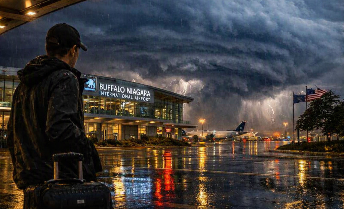
Image generated with Ai
Those driving through western and central New York, as well as parts of Pennsylvania, encountered a rapidly shifting severe weather scenario on Wednesday evening, September 2, as warnings for tornadoes, thunderstorms, and flooding moved eastward throughout the area. The New York Pennsylvania severe storms can cause some difficulty with late night travel and flights, since the National Weather Service advises that people take shelter rather than risk driving.
This weather scenario has been developing quickly. Warnings have come from National Weather Service branches covering Buffalo, Binghamton, and Pennsylvania as storms have moved from one county to the next.
Advertisement
Advertisement
How Are the Severe Storms Affecting Travel Across New York?
The broadest concern for travellers in New York is Tornado Watch 645, which covers a large part of western and central New York until 11 p.m. EDT. The watch includes counties serving major travel centres such as Buffalo, Rochester, Syracuse, Binghamton, Ithaca, Elmira and Watertown.
A tornado watch does not mean a tornado is occurring everywhere in the affected area. It indicates that atmospheric conditions can support tornado-producing storms, meaning travellers need to be ready to act quickly if a warning is issued.
Advertisement
Advertisement
Major New York Travel Areas Within the Watch
- Buffalo and surrounding Erie County
- Rochester and Monroe County
- Syracuse and Onondaga County
- Binghamton and Broome County
- Ithaca and Tompkins County
- Elmira and Chemung County
- Watertown and Jefferson County
- Finger Lakes destinations including Cayuga, Seneca and Yates counties
The National Weather Service Binghamton hazard map was still displaying tornado warnings, severe thunderstorm warnings, flash-flood warnings and a tornado watch shortly after 9 p.m. EDT, underlining how quickly conditions were changing.
Advertisement
Advertisement
What Could the Storms Mean for Flights?
Air travellers should monitor their flights closely, particularly when using airports across western and central New York.
The National Weather Service specifically listed the area around Buffalo Niagara International Airport within Tornado Watch 645. Meanwhile, an official weather observation at Greater Rochester International Airport reported thunderstorms and rain during the evening.
Severe thunderstorms can affect airport operations through lightning, reduced visibility, strong crosswinds and temporary ground stops. However, the weather warnings themselves do not establish that airports have closed or that particular flights have been cancelled.
What Air Passengers Should Check
- Airline flight-status notifications before leaving for the airport
- Airport departure and arrival boards
- Possible connection-time changes
- Ground transport conditions around airports
- Current National Weather Service warnings for the airport area
Passengers should avoid assuming that a scheduled flight will operate normally simply because an airport remains open. Conditions can change significantly while a storm line passes.
Road Trips Face Wind, Hail and Flash-Flood Hazards
Motorists may face a more immediate travel challenge.
Advertisement
Advertisement
National Weather Service warnings in western New York included radar-indicated wind gusts of up to 70 mph, together with large hail. An earlier Buffalo warning said damaging winds could bring tree damage while hail could damage vehicles.
For travellers driving between cities or through the Finger Lakes and rural areas, those hazards can rapidly make normally straightforward journeys unsafe.
A separate Flood Watch issued by NWS Binghamton covers numerous counties across central New York and northeastern Pennsylvania through Thursday morning, with excessive rainfall capable of producing flash flooding.
Conditions That Could Disrupt Road Travel
- Sudden reductions in visibility during heavy rain
- Fallen branches or trees caused by strong winds
- Hail affecting vehicles and road surfaces
- Water covering low-lying roads
- Localised flash flooding
- Rapid warning changes along longer driving routes
Travellers should use official state traffic services, including 511NY and 511PA, alongside National Weather Service information before beginning or continuing a journey.
Pennsylvania Travellers Also Face Severe Thunderstorm Threats
The threat extends beyond New York.
Advertisement
Advertisement
National Weather Service State College said severe thunderstorm warnings remained in effect in parts of north-central Pennsylvania after 9 p.m., including areas of Clinton, Lycoming, McKean, Potter and Tioga counties. Some storms were capable of producing damaging winds and hail.
A tornado warning affecting Centre and Clinton counties was allowed to expire at about 9:15 p.m. after the storm no longer appeared capable of producing a tornado. That change demonstrates why travellers should rely on live warnings rather than older screenshots or social-media posts.
Pennsylvania also remained under Severe Thunderstorm Watch 646 in several areas until midnight EDT.
Why This Matters
This weather event matters for travellers because the risk is moving rather than remaining fixed over one city.
A traveller leaving Buffalo may encounter different conditions by the time they reach Rochester or Syracuse. Similarly, motorists travelling through northern Pennsylvania could move from an area where a warning has expired into another county where a new warning has just been issued.
Advertisement
Advertisement
The combination of tornado potential, damaging winds, hail and flash flooding also creates several different travel hazards at once.
For tourism businesses, hotels and transport operators, severe evening storms can result in delayed arrivals, missed connections and guests reaching destinations later than planned.
What Travellers Should Know
Anyone travelling through the affected parts of New York or Pennsylvania should treat official warnings as location-specific instructions rather than general weather forecasts.
Before Travelling
- Eligibility: No travel restriction applies simply because a watch exists, but a Tornado Warning requires immediate protective action.
- Booking conditions: Check airline, rail, coach and accommodation policies if severe weather affects arrival times.
- Destinations: Pay particular attention when travelling through western New York, the Finger Lakes, central New York and north-central Pennsylvania.
- Availability: Transport services may change quickly even without a full airport or highway closure.
- Official advice: Follow the National Weather Service, 511NY, 511PA and individual transport operators.
If a Tornado Warning is issued for the traveller’s location, continuing a road journey should not take priority over finding substantial shelter.
Frequently Asked Questions
Is all of New York under a Tornado Warning?
No. Tornado warnings are issued for specific areas and short periods. A much broader section of western and central New York is covered by Tornado Watch 645 until 11 p.m. EDT.
Advertisement
Advertisement
Are New York airports closed because of the storms?
The National Weather Service warnings do not by themselves indicate airport closures. Travellers should check their airline and airport directly for operational changes.
Could road travel be affected?
Yes. Strong winds, large hail, heavy rainfall, fallen debris and flash flooding can all affect driving conditions.
How long will the weather threat continue?
Tornado Watch 645 runs until 11 p.m. EDT in affected New York areas, while parts of Pennsylvania remain under Severe Thunderstorm Watch 646 until midnight. A flood watch covering parts of central New York and northeastern Pennsylvania extends into Thursday morning.
Where should travellers check for live warnings?
The National Weather Service active-alert system should be treated as the primary weather source, supplemented by airline, airport and state highway information.
Closing Update
The severe weather environment in the region comprising of New York and Pennsylvania is still very unpredictable as the thunderstorms move eastwards. While some of the tornado warnings have expired, other severe thunderstorm, flash flood, and tornado products continue to develop in the adjacent regions.
Passengers should thus monitor the weather conditions prior to their trip as well as throughout the journey since expiry of one warning in one county does not indicate an end to the regional travel threat.
Advertisement
