
Okinawa Faces Fresh Travel Disruption as Japan Typhoon 2026 Surigae Intensifies Over the Pacific

Published
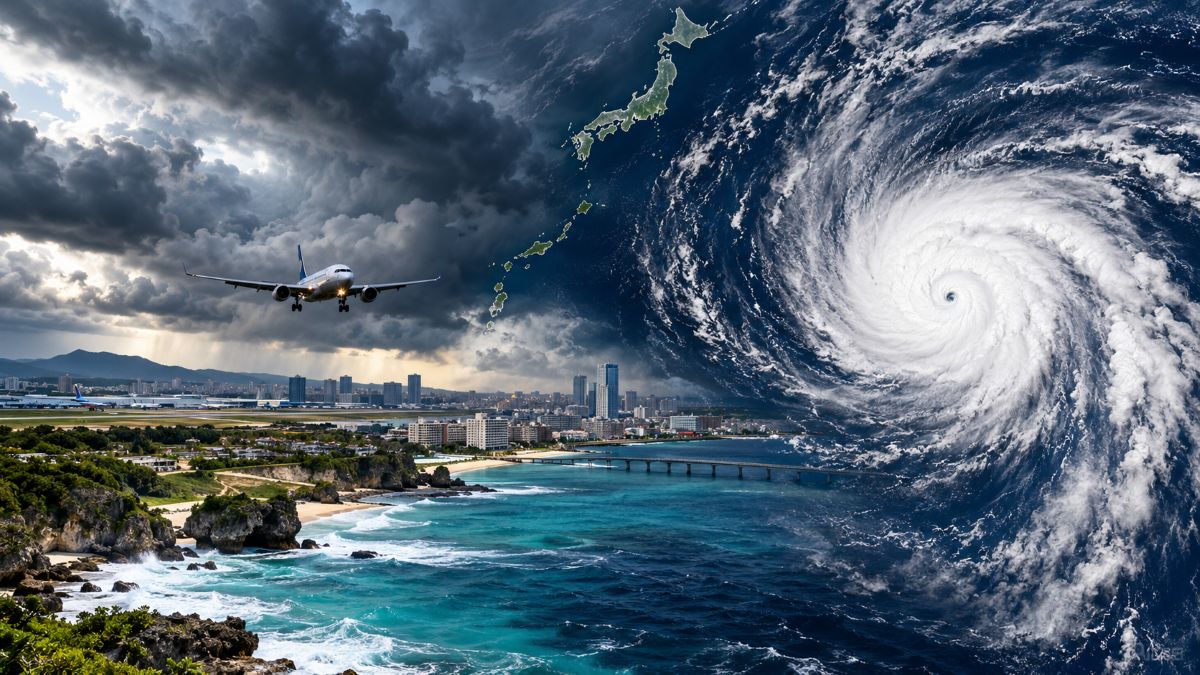
Image generated with Ai
Japan is facing another weather threat as Tropical Storm Surigae tracks towards Okinawa after an unusually active cyclone season. The storm was about 650 kilometres south of the Daito Islands and roughly 715 kilometres southeast of Naha on 25 September. Japan’s Meteorological Agency classifies Surigae as Typhoon No. 26 of 2026.
The storm is forecast to strengthen over the weekend while moving towards waters near Okinawa. International forecasting agencies expect Surigae to reach typhoon strength before its closest approach. That raises fresh concerns for flights, ferries, beaches, marine excursions and resort operations.
The timing adds significance because 2026 has already produced an exceptional number of tropical systems. JMA recorded 25 typhoons by 17 September, before Surigae became the 26th system. The pace echoes the exceptionally active 1966 season, while August 2026 produced 10 typhoons alone.
Surigae Builds Over Warm Pacific Waters
Surigae has become the immediate focus for Okinawa-bound travellers. The storm was moving northwest at roughly 20 kilometres per hour on 25 September, according to Japanese meteorological observations. Its central pressure was about 1,000 hectopascals, with sustained winds around 75 kilometres per hour.
Advertisement
Advertisement
Forecast models indicate further strengthening as Surigae moves over warm waters. Weathernews projected typhoon intensity around 27 September, with the system potentially reaching peak strength between 28 and 29 September. However, forecast tracks can change significantly several days ahead.
The US National Weather Service also expects additional strengthening. Its 25 September advisory placed the storm near 20.2°N and 130.3°E, moving northwest at about 13 miles per hour. It said the system could become a typhoon over the weekend.
Advertisement
Advertisement
| Surigae Indicator | Latest Position | Travel Significance |
|---|---|---|
| Classification | Tropical Storm | Conditions can deteriorate rapidly |
| Japan designation | Typhoon No. 26 | Marks the 26th system of 2026 |
| Location on 25 September | About 650 km south of Daito Islands | Okinawa remains outside the immediate core |
| Distance from Naha | About 715 km southeast | Sufficient time for forecasts to evolve |
| Sustained winds | About 75 km/h | Strengthening remains possible |
| Movement | West-northwest | Track remains important for Okinawa |
| Expected trend | Strengthening | Flight and marine disruption risk may rise |
The key issue for travellers is therefore not the storm’s present strength alone. Its future track and rate of intensification will determine the scale of disruption.
Okinawa Sits Directly in the Risk Zone
Okinawa has long occupied a distinctive position in Japan’s tourism geography. Its subtropical climate, beaches, coral reefs and island network attract visitors throughout the year. Yet that same geography exposes the destination to Pacific tropical cyclones.
The Japan National Tourism Organization specifically notes that September is a period when typhoons frequently affect Okinawa. Travellers visiting the islands during this period therefore face a higher possibility of weather-related disruption than visitors travelling elsewhere in Japan.
Naha provides the principal gateway to the main island. Travellers heading towards Ishigaki and Miyakojima can also use direct flights, while ferries connect numerous smaller islands. This creates a complex transportation network that can become vulnerable when winds and seas deteriorate.
For tourism operators, the exposure extends beyond aviation. Diving, snorkelling, whale-watching, fishing and boat excursions can all become unsafe or commercially unviable during severe weather.
Hotels may remain open even when outdoor attractions close. However, guests can still face transport interruptions, cancelled excursions, delayed transfers and difficulty reaching airports.
Advertisement
Advertisement
A Season Running at Extraordinary Pace
The wider 2026 statistics make Surigae more significant. JMA’s Japanese Standard Time dataset recorded 25 typhoons by 17 September, compared with 27 for the entire year in 2025. Surigae then became Typhoon No. 26.
The distribution across the year has also been striking. Ten typhoons formed in August alone, according to Weathernews. That was the first time since August 1966 that a single month produced 10 typhoons.
The historical comparison is particularly notable. JMA records 35 tropical cyclones in 1966, making that a landmark season in its historical dataset. The 2026 count has not matched the annual total, but reaching the 26th system by late September highlights the unusually rapid pace.
| Season | Annual Typhoon Count | Relevant Context |
|---|---|---|
| 1966 | 35 | Exceptionally active historical season |
| 2022 | 25 | Recent comparison |
| 2023 | 17 | Relatively low annual total |
| 2024 | 26 | Same annual total reached by 2026 |
| 2025 | 27 | Full-year total |
| 2026 | 26 by Surigae | Reached before October |
The comparison needs care. A seasonal count does not automatically measure damage or tourism disruption. Location, intensity, duration and landfall determine the practical consequences.
August Set a Remarkable Historical Benchmark
August deserves particular attention because it explains why the 2026 season has accelerated so sharply. JMA’s data show 10 typhoons forming during August. The monthly figure is extraordinary by modern standards.
Weathernews reported that August 2026 was only the third month since 1951 to produce at least 10 typhoons. It followed August 1966 as another rare example of such concentrated cyclone activity.
Advertisement
Advertisement
The pattern continued into September. Surigae became the third new typhoon of the month, excluding the separate reclassification issue surrounding Typhoon No. 18. Weathernews also noted that 2026 became only the third year since 1951 to record typhoon formation in every month from January through September.
For the travel industry, this matters because September is already a sensitive month for Okinawa. A prolonged sequence of storms can affect advance bookings, marine operations and visitor confidence even when individual storms do not make a direct landfall.
Flights Face the First Operational Pressure
Air connectivity is likely to become the first major travel concern if Surigae approaches Okinawa. Naha Airport is the principal aviation gateway for Okinawa’s main island, while Ishigaki and Miyako provide access to important island tourism markets.
Airlines generally make operational decisions according to wind, visibility, runway conditions, aircraft positioning and airport safety. Therefore, a forecast typhoon does not automatically mean every flight will be cancelled.
Instead, travellers may encounter schedule adjustments before the storm reaches the islands. Airlines can also consolidate services, move departure times or cancel selected sectors to avoid leaving aircraft or passengers in affected airports.
The knock-on effects can extend well beyond Okinawa. Aircraft and crew rotations connect the islands with Tokyo, Osaka and other Japanese gateways. Disruption at Naha can consequently affect later services elsewhere.
Advertisement
Advertisement
Travellers should therefore check their airline directly before leaving for the airport. Airport departure boards can also change rapidly as operational decisions are made.
Ferries Face a Different Vulnerability
Ferry networks are particularly important to Okinawa’s island economy. They provide access between the main island and smaller communities while supporting tourism, freight and local mobility.
Unlike aviation, maritime operations face a direct exposure to deteriorating sea conditions. Strong winds, large waves and poor visibility can force operators to suspend services.
This creates a distinctive travel risk. A traveller may successfully reach Okinawa by air but still become unable to continue to a smaller island.
The safest strategy is to build flexibility into island-hopping itineraries. Visitors with tightly timed international departures should avoid creating a final-day ferry connection that depends on calm seas.
Tourism Enters a More Weather-Sensitive Phase
Japan’s tourism market has expanded substantially in recent years. The Japan Tourism Agency recorded 42.68 million inbound visitors in 2025, demonstrating the scale of international demand entering the country.
Advertisement
Advertisement
Okinawa captures part of that demand through its beach and resort proposition. International connectivity from several Asian markets has also strengthened the islands’ accessibility. JNTO notes direct international flights to Okinawa from markets including China, South Korea, Singapore, Taiwan and Hong Kong.
That creates an important operational consideration. A weather event in Okinawa can affect not only domestic leisure travel but also international visitor flows.
Hotels, tour companies and transport providers must therefore manage cancellations while preserving guest safety. Flexible booking policies can become particularly important during periods of elevated weather risk.
For travellers, travel insurance terms also deserve attention. Coverage differs between policies, especially for cancellations caused by weather forecasts rather than actual transport disruption.
What Travellers Should Monitor Now
Visitors heading to Okinawa over the next several days should treat the itinerary as weather-sensitive. The most important variable remains the storm’s forecast track, which can shift as new observations enter forecasting models.
Travellers should check Japan Meteorological Agency warnings alongside airline and airport information. JNTO’s Japan Safe Travel service also provides emergency information and directs visitors towards official weather warnings.
Advertisement
Advertisement
The practical priority should be flexibility rather than panic. Travellers should keep accommodation confirmations, airline notifications and alternative transport details readily available.
Outdoor activities should also remain flexible. Beaches, diving operations and boat excursions can become unsafe before a storm’s centre reaches an island.
| Traveller Concern | Recommended Action |
|---|---|
| Flight | Check airline status before travelling to the airport |
| Ferry | Confirm sailing status directly with the operator |
| Hotel | Ask about cancellation and extension policies |
| Excursions | Confirm whether operators are running |
| Travel insurance | Check weather-related cancellation clauses |
| Local warnings | Follow JMA and municipal instructions |
| Emergency | Follow evacuation instructions immediately |
| Communications | Keep mobile devices fully charged |
JNTO advises visitors to monitor official information during typhoons and follow local instructions. Its guidance also recommends avoiding unnecessary outdoor movement during dangerous conditions.
Japan’s Wider Mainland Is Not Automatically Affected
The arrival of another storm near Okinawa should not be interpreted as a nationwide travel shutdown. Japan is a geographically extensive archipelago, and weather impacts vary considerably between regions.
Tokyo, Osaka, Kyoto and northern destinations can experience different conditions from Okinawa. A traveller visiting mainland Japan may therefore encounter little disruption even while Okinawa faces severe weather.
However, the forecast track should be watched beyond the islands. Surigae is expected to curve northeastwards, and forecast guidance indicates movement towards waters south of Japan later in the period.
Advertisement
Advertisement
This creates uncertainty for longer itineraries. Travellers moving from Okinawa towards mainland Japan should monitor developments rather than assume the storm will remain confined to the southern islands.
Okinawa’s Autumn Travel Window Faces Test
Surigae arrives during a period when Okinawa remains attractive to leisure travellers but weather volatility is still a major consideration. September sits within the region’s recognised typhoon season, making advance planning particularly important.
The storm also arrives after an extraordinary run of cyclone formation. Twenty-six systems by late September does not mean every destination has faced severe weather. It does, however, underline the need for more dynamic travel planning.
For the travel industry, the immediate challenge is operational resilience. Airlines, hotels, ferries, attractions and destination managers must respond quickly as the forecast evolves.
For visitors, the message is simpler. Do not judge risk from today’s weather alone. Monitor the official forecast, keep transport options flexible and follow local safety instructions.
Surigae may ultimately pass without causing major disruption across Okinawa. Yet the storm’s strengthening potential and projected movement make the coming days important for the region’s tourism network.
As Japan moves deeper into autumn, the 2026 cyclone season has already established an unusual statistical profile. For travellers, the lesson is practical rather than dramatic: Okinawa remains open to visitors, but weather awareness must form part of the itinerary.
Advertisement
