
Ireland And UK Travel Put On Red Alert As Storm Boelo Unleashes Airport Disruption As Flight Cancellations And Diversions Trigger Runway Go-Around Chaos

Published
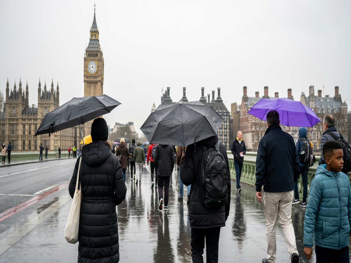
Storm Boelo wreaks havoc on Ireland and the UK, as 80 mph winds shut down flights. A raging storm in the North Atlantic Ocean dubbed Storm Boelo has made its way to Western Europe, bringing about red alert traveling conditions as well as cancellation of travel modes such as flights in Ireland and the United Kingdom. With strong winds blowing at speeds of more than 115 km per hour (70 to 80 mph), this weather condition has led to the air traffic control towers being put into emergency mode.
At the epicenter of Saturday’s aviation turmoil, Dublin Airport became a theater of high-stakes airmanship. Commercial jetliners were caught in violent wind-shear pockets, performing heart-stopping runway go-arounds, while departure lounges gradually filled with thousands of stranded passengers. Beyond Ireland’s eastern seaboard, Boelo’s expansive wind field has paralyzed transit networks across the Irish Sea, knocking out ferry connections, shuttering coastal rail lines, and snarling flight schedules from Belfast and Edinburgh to Manchester and London.
Advertisement
Advertisement
The Genesis of Chaos: Anatomy of an Atlantic Tempest
Storm Boelo developed from an aggressive frontal depression over the open waters of the North Atlantic. Fueled by a sharply defined jet stream gradient, the low-pressure center deepened rapidly as it migrated toward the northwestern approaches of the British Isles.
Unlike fast-moving localized squalls, Boelo features an expansive circulation characterized by prolonged gale-force winds and punishing crosswinds aligned perpendicularly to major airport runways. This geometric mismatch between wind direction and tarmac layout produces severe low-altitude wind shear. For commercial aviation, wind shear is among the most challenging operational hazards, capable of destabilizing an aircraft’s airspeed and glide slope within seconds during the critical final approach.
Advertisement
Advertisement
Meteorological agencies on both sides of the Irish Sea reacted by upgrading initial advisories to urgent warnings, sounding the alarm for coastal storm surges, falling trees, flash floods, and severe transportation gridlock.
Dublin Airport Ground Zero: Aborted Landings and Cockpit Drama
Throughout Saturday afternoon, the operational tempo at Dublin Airport ground to a near-halt under the relentless assault of crosswind gusts. By 4:00 PM, airport authority updates confirmed that the airfield had recorded at least 19 outright flight cancellations—comprising 9 outbound departures and 10 inbound arrivals—as airlines struggled to guarantee safe operating margins.
Advertisement
Advertisement
The day’s most dramatic operational challenge came in the form of six separate mid-air go-arounds executed by inbound flights:
- The Go-Around Maneuver: A procedural safety protocol where pilots abort an unstable landing attempt, apply full thrust, pitch the nose upward, and climb back to a safe holding altitude.
- Touchdowns on Second Attempt: Five of the six aircraft entered tactical holding stacks, recalculated fuel endurance and surface wind parameters, and successfully completed their landings on a subsequent approach.
- Emergency Diversion: One inbound flight, unable to find an acceptable landing window amidst fluctuating wind shear, abandoned its approach altogether, diverted to a designated alternate airfield to hold and refuel, and returned to Dublin later in the evening once wind conditions temporarily stabilized.
Despite the ground disruptions, Dublin Airport Authority (DAA) kept the runways operational, relying on the skill of air traffic controllers and flight crews to thread incoming traffic through brief lulls in the gale.
Advertisement
Advertisement
Country-by-Country Impact Breakdown
Storm Boelo’s expansive footprint extends far beyond Dublin. Below is a comprehensive overview of how individual territories across the region are weathering the disruption.
1. Republic of Ireland
The storm made its initial landfall along the Atlantic seaboard before sweeping eastward across the midlands and urban population centers.
- Meteorological Status: Met Éireann designated Dublin and surrounding midland and eastern counties—including Cavan, Longford, Louth, Meath, Monaghan, and Westmeath—under severe Status Yellow and Orange wind alerts.
- Aviation Disruption: Regional and international connectivity suffered immediate attrition. Commuter hops to Donegal via Aer Lingus and European links to Amsterdam Schiphol on KLM were among the earliest cancellations, preventing crucial aircraft and crew repositioning.
- Maritime & Ground Transit: The Irish Sea turned impassable for conventional craft, with Irish Ferries and Stena Line cancelling sailings connecting Dublin and Rosslare to Holyhead and Fishguard. Inland, high-sided vehicles were warned off exposed coastal motorways due to fallen debris and sudden side-buffeting.
2. Northern Ireland
Occupying the direct path of Boelo’s northeastern feeder bands, Northern Ireland faced an acute compounding threat of storm-force winds and localized downpours.
- Meteorological Status: The UK Met Office enacted severe Amber Wind Warnings for County Antrim and County Derry/Londonderry, flanked by Yellow wind and rain warnings covering Fermanagh, Tyrone, Armagh, and Down.
- Aviation Disruption: Operations at Belfast International Airport (Aldergrove) and George Best Belfast City Airport experienced cascading schedule adjustments. Smaller regional turboprop services faced severe crosswind limits, leading to preemptive groundings.
- Infrastructure Impact: Downed power lines knocked out electricity to rural communities, while fallen trees blocked arterial roads across the Glens of Antrim. Translink NI imposed speed restrictions on rail corridors between Belfast and Derry, citing debris hazards along tracks.
3. Scotland
Positioned closest to the core of the passing low-pressure center, Scotland bore the brunt of Boelo’s peak wind velocities.
Advertisement
Advertisement
- Meteorological Status: Deep amber warnings enveloped the Western Isles, the Highlands, and western coastal stretches, where surface gusts reached 130 km/h (80 mph). Yellow warnings blanketed the central belt, Edinburgh, and Aberdeen.
- Aviation Disruption: Edinburgh and Glasgow Airports reported widespread flight holds and diversions, particularly on services arriving from European and southern UK hubs. Regional flights connecting the Scottish mainland to the Hebrides, Orkney, and Shetland islands were completely grounded.
- Maritime & Rail Shutdowns: CalMac (Caledonian MacBrayne) suspended virtually all ferry sailings across the Firth of Clyde and the Minch. Network Rail Scotland activated emergency route closures and safety speed limits of 50 mph (80 km/h) on exposed highland tracks, drastically reducing train frequencies.
4. England
While England’s southern counties escaped the highest wind bands, the northern, northwestern, and coastal zones faced significant logistical disruptions.
- Meteorological Status: Yellow weather warnings for rain and damaging wind covered Cumbria, Lancashire, Yorkshire, and coastal sectors around the Irish Sea basin.
- Aviation Disruption: Manchester Airport and Liverpool John Lennon Airport handled diversion traffic from struggling airfields farther north and west, resulting in tarmac congestion, ground-crew delays, and delayed turnarounds.
- Ground Infrastructure: The M6 and A66 corridors experienced severe traffic bottlenecks due to overturned freight trailers and blowing rain that reduced visibility. TransPennine Express services suffered cancellations due to flash flooding and localized rail-bed saturation.
5. Wales
Exposed western bluffs and the Irish Sea perimeter across Wales experienced violent coastal swells and prolonged squalls.
- Meteorological Status: Coastal alerts and flood watches were established across Pembrokeshire, Anglesey, and North Wales.
- Maritime & Rail Stoppages: The Port of Holyhead suspended all ferry services to Dublin, isolating cargo movements and causing commercial freight queues along the A55 North Wales Expressway. The Conwy Valley and Cambrian railway lines instituted emergency safety halts.
6. France & The Channel Islands (Peripheral Threat)
Though centered farther north, Storm Boelo’s trailing frontal boundaries and broad pressure gradient rippled across the English Channel and the French coast.
- Meteorological Status: Météo-France posted marine and coastal alerts for the departments of Finistère, Côtes-d’Armor, Ille-et-Vilaine, and Manche.
- Maritime Disruptions: Strong gale-force winds and turbulent sea conditions led Condor Ferries to cancel or delay inter-island crossings connecting Jersey and Guernsey with the UK mainland and Saint-Malo. Channel shipping lanes operated under navigational hazard advisories as massive swells rolled in from the Celtic Sea.
Comparative Regional Disruption Matrix
| Jurisdiction | Primary Hazard | Peak Wind / Swell Recorded | Key Transport Hubs Affected | Primary Transport Modes Disrupted |
| Republic of Ireland | Severe crosswinds, wind shear | 115 km/h (71 mph) | Dublin Airport, Shannon Airport, Port of Dublin | Aviation (cancellations/go-arounds), Ferries |
| Northern Ireland | Destructive gales, localized rain | 110–120 km/h (68–75 mph) | Belfast International, George Best Belfast City | Aviation (delays), Regional Rail, Coastal Highways |
| Scotland | Extreme gales, heavy precipitation | 130 km/h (80 mph) | Edinburgh Airport, Glasgow Airport, Oban Port | Ferries (near-total suspension), Regional Flights |
| North England | Blustery crosswinds, rain saturation | 95–105 km/h (60–65 mph) | Manchester Airport, Liverpool Airport | Cross-country Rail, Heavy Freight Highways |
| Wales | Coastal gales, high sea states | 105 km/h (65 mph) | Holyhead Port, Cardiff Airport | Irish Sea Ferries, Coastal Rail Arteries |
| Channel / France | Rough seas, trailing gusts | 90 km/h (56 mph), 5m swells | Saint-Malo, Jersey & Guernsey Ports | Channel Crossings, Coastal Ferry Terminals |
How Storm Boelo Cascades Through Modern Travel Networks
The disruption caused by Storm Boelo illustrates how modern, highly integrated transport systems are vulnerable to severe weather events. When a major hub like Dublin suffers simultaneous cancellations and go-arounds, the ripple effects spread throughout the international network:
                  ┌───────────────────────────────┐
                  │   Storm Boelo Enters Coast    │
                  │   (Gale Winds & Wind Shear)   │
                  └──────────────┬────────────────┘
                                 │
                 ┌───────────────┴───────────────┐
                 ▼                               ▼
  ┌─────────────────────────────┐ ┌─────────────────────────────┐
  │      Aviation Impacts       │ │     Maritime & Rail Impacts │
  │  - 19+ Dublin Cancellations │ │  - Irish Sea Ferries Halted │
  │  - 6 Dangerous Go-Arounds   │ │  - Train Speed Limits (50mph│
  │  - Strategic Diversions     │ │  - Highway Bridge Closures  │
  └──────────────┬──────────────┘ └──────────────┬──────────────┘
                 │                               │
                 └───────────────┬───────────────┘
                                 ▼
         ┌───────────────────────────────────────────────┐
         │         Systemic Network Paralyzation         │
         │ - Airframes & Crews Displaced Cross-Continent │
         │ - Terminals Overcrowded with Missed Connects  │
         │ - Freight & Logistics Chains Backlogged       │
         └───────────────────────────────────────────────┘
The Rotational Bottleneck
Commercial airlines maximize profitability through tight aircraft utilization. A single airframe may fly six distinct sectors in a single day—for example, flying London to Dublin, Dublin to Amsterdam, Amsterdam back to Dublin, and on to regional bases.
- When crosswinds in Dublin prevent an aircraft from landing on schedule, or force a diversion to an alternate city, that aircraft misses its next outbound slot.
- Crews exceed their federally mandated flight-duty hours while waiting out holding patterns or delays on the tarmac, meaning relief crews must be called in.
- By the evening peak, flight cancellations double not because weather is still at its absolute worst, but because planes and pilots are stranded in the wrong cities.
The Ground Support Stalemate
Severe wind events create unique ground-handling hazards at terminal gates:
Advertisement
Advertisement
- Baggage and Catering Holds: Airport ground safety guidelines mandate that baggage ramps, belt loaders, and catering trucks cease operations once wind gusts exceed specific safety thresholds (often between 40 and 45 knots), preventing baggage offloading.
- Jet bridge Retractions: High winds can destabilize passenger boarding bridges, forcing ground teams to lock them down and leaving disembarking passengers held inside cabins on the apron for extended periods.
Essential Guidance for Impacted Travelers
With meteorologists forecasting volatile weather conditions into the following operational day, transport authorities urge travelers to maintain situational awareness and plan for extensive friction.
Mandatory Verification Protocols
- Direct Carrier Verification: Do not travel to the terminal relying on third-party aggregator notifications or generic flight-board estimates. Monitor direct push notifications from airline mobile applications and live customer portals.
- Adherence to Terminal Arrival Windows: Dublin Airport Authority strongly instructs passengers not to arrive excessively early, as this overburdens security corridors and landside waiting halls. Passengers must maintain the standard posture: arrive 2 hours prior to scheduled departure for short-haul European flights, and 3 hours prior for long-haul transatlantic departures.
- Understanding Passenger Rights: Under EU Regulation 261/2004 and UK passenger rights directives, severe weather qualifies as an “extraordinary circumstance,” which generally exempts carriers from paying direct cash compensation for delays. However, airlines retain a strict duty of care. Carriers must provide passengers whose flights are cancelled or stranded overnight with complimentary meals, refreshments, communications facilities, and hotel accommodations until transportation can be arranged.
Looking Ahead: The Recovery Phase
Meteorological projections show Storm Boelo tracking gradually northeastward toward the Norwegian Sea, leaving in its wake a turbulent northwesterly airstream marked by lingering squalls and sharp temperature drops. While surface winds across Ireland and northern Britain are forecast to abate below critical red-alert thresholds by late Sunday, the operational hangover will persist.
Storm Boelo hits Ireland and the United Kingdom with 80mph winds, leading to numerous flights being cancelled and attempted landings that fail.
The transportation industry will have its work cut out for it in trying to get the fleets back into the right position, return the flight crew members who are in the wrong place, unload the backlog of passengers, and fix the rail lines that were damaged along the coast.
Advertisement
