
Iwate Joins Honshu, Miyagi, Hokkaido, Aomori, and More as Japan Shakes After a 6.9-Magnitude Earthquake Disrupting Transport and Triggering Regional Alerts, While Venezuela and the US Also Face Major Seismic Shocks on the Same Day

Published
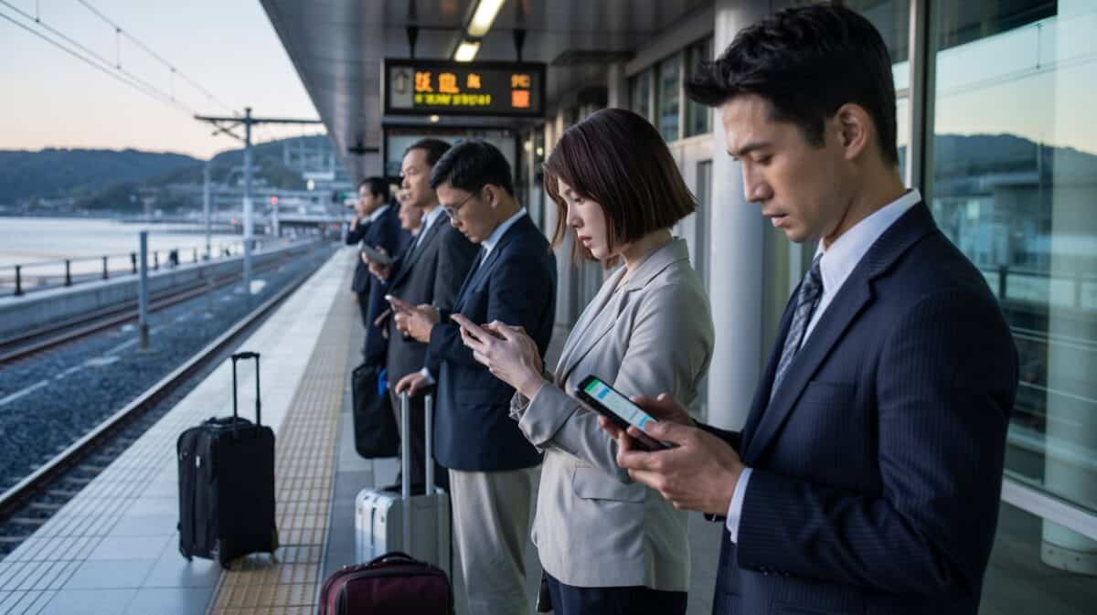
Image generated with Ai
The Japan earthquake that struck off Iwate has quickly become the biggest travel story in Northeast Asia, after strong shaking spread across Aomori, Miyagi, Hokkaido, and a wider stretch of Honshu, rattling transport networks and forcing travellers to reassess plans across the Tohoku region. The event was initially reported as a 6.9-magnitude earthquake, while the Japan Meteorological Agency later updated it to magnitude 7.2 on a provisional basis. For the travel sector, the story is not only about seismic force. It is also about how one major jolt hit one of Japan’s best-known summer travel corridors, where rail access, regional mobility, and visitor confidence matter enormously. On the same day, Venezuela was struck by powerful back-to-back earthquakes, and California also recorded a significant tremor, turning the day into a stark reminder of how quickly natural events can reshape travel conditions across multiple markets.
For travellers, the Japan earthquake matters most because it hit the wider Tohoku tourism zone on Honshu, a region that includes Aomori, Iwate, and Miyagi and is widely promoted for rail-accessible summer trips, coastal scenery, nature, and cultural destinations. The official Tohoku tourism platform notes that these prefectures sit in the northeastern region of Honshu and are closely linked to Tokyo by the shinkansen network, which makes any seismic disruption there immediately relevant to both domestic and international tourism flows.
Advertisement
Advertisement
What happened off Iwate and why the magnitude figure matters
Initial 6.9 report later revised by Japan Meteorological Agency
According to the Japan Meteorological Agency, the earthquake was detected at around 07:30 on 25 June 2026, with its epicentre off Iwate Prefecture at a depth first put at about 50 kilometres. The agency’s initial rapid estimate listed the event at magnitude 6.9, but a later technical update revised it to magnitude 7.2 with a provisional depth of 44 kilometres. The US Geological Survey continued to list the event as magnitude 6.9, located 30 kilometres east-north-east of Kuji, Japan, with strong shaking and a depth of 50.9 kilometres. That difference is not unusual in the hours after a major quake, but for media, travel operators, and passengers, it meant the event developed from a strong seismic incident into an even more serious operational story as official refinements emerged.
The quake struck a key travel corridor in northeastern Japan
The Iwate earthquake hit one of Japan’s most strategically important visitor regions. Tohoku is not a marginal tourism zone. It is a core leisure region with mountain routes, coastal itineraries, hot spring towns, heritage sites, and summer festival traffic. The official tourism platform highlights major destinations across Aomori, Iwate, and Miyagi, while also underscoring how quickly these prefectures connect with Tokyo by rail. That is why a morning earthquake in this area does not remain a local geology story. It immediately becomes a travel disruption story affecting sightseeing plans, rail timetables, onward connections, accommodation schedules, and traveller confidence across northeastern Japan.
Advertisement
Advertisement
The areas in Japan most affected by the earthquake
Aomori saw the strongest observed shaking
Although the epicentre was off Iwate, the strongest measured shaking was recorded in Hashikami Town in Aomori Prefecture, where the Japan Meteorological Agency observed seismic intensity 6 upper. That makes Aomori the most intensely affected prefecture in terms of observed ground shaking. For travellers, this is significant because Aomori is not only part of the broader Tohoku circuit but also a destination tied to seasonal festivals, nature escapes, and regional rail tourism. When the strongest shaking lands there, accommodation operators, transport providers, and day-trip planners all feel the knock-on effects immediately.
Advertisement
Advertisement
Iwate remained the core impact zone because the epicentre was offshore
Even though Aomori logged the strongest intensity, Iwate remained the core impact zone because the earthquake originated off the Iwate coast. The JMA said the event occurred in the plate-boundary area and described the mechanism as a reverse fault earthquake at the boundary between the Pacific Plate and the land plate. The agency also recorded long-period ground motion class 2 in Iwate coastal north, Iwate inland north, and Iwate inland south, showing that shaking characteristics extended beyond the immediate shoreline. For travellers moving through Morioka, coastal sightseeing areas, or inland resort routes, that meant a day of elevated caution and operational uncertainty.
Miyagi and neighbouring Tohoku prefectures were also materially affected
The impact was not limited to Aomori and Iwate. The JMA recorded long-period ground motion in Miyagi Prefecture north and parts of Akita, showing that the wider Tohoku belt was affected. This matters because Tohoku travel often works as a multi-stop circuit rather than a single-destination trip. Visitors frequently combine Sendai in Miyagi, heritage areas in Iwate, and northern routes in Aomori within one itinerary. When shaking spreads across multiple prefectures, the travel impact becomes broader than the epicentre alone suggests. It affects timetables, ground transport decisions, and traveller sentiment across the region’s interconnected tourism economy.
Hokkaido felt the event and remained part of the wider impact footprint
The JMA also reported long-period ground motion in parts of Hokkaido, including southern Ishikari, central-eastern Iburi, and central Tokachi, confirming that the earthquake’s footprint reached beyond Honshu. The agency further said shaking was observed from Hokkaido to the Izu Islands, which underlines the broad area touched by the event. For travellers, that does not mean Hokkaido experienced the same intensity as Aomori. It does mean the quake was not a narrowly contained regional jolt. It was a large-scale event felt across a major span of northern and eastern Japan, with implications for itinerary planning and transport awareness.
Travel disruption and what it meant for passengers
Rail operators moved into response mode
The strongest travel impact was on the rail side. By the afternoon, JR East was displaying a notice about refunds for limited express tickets due to the Tohoku earthquake, showing that the event had affected passenger operations enough to require formal compensation guidance. Later system information from JR East showed monitored lines back to normal operations, which strongly suggests the disruption was significant but temporary. This is the pattern many travellers now recognise in Japan: a fast safety response, operational checks, service adjustments, and then a phased return toward normality once infrastructure safety is verified.
Why this quake became a real travel story rather than only a geology update
For the travel industry, the earthquake became important because it struck during a live transport window in a region that depends heavily on rail mobility. Tohoku is sold as an easy rail-access destination. When quake activity interrupts that promise, even briefly, the impact travels far beyond the epicentre. Day trips can be missed. Hotel arrivals can be delayed. Sightseeing schedules can collapse. Transfer chains to and from Tokyo can be disrupted. The event did not appear to trigger a prolonged nationwide shutdown, but it was serious enough to put the region’s visitor logistics under pressure for part of the day.
Advertisement
Advertisement
Tsunami risk, aftershock concerns and official warning posture
No damaging tsunami concern, but caution remained high
The Japan Meteorological Agency said slight sea-level fluctuations were possible, but there was no concern for damaging impacts from those fluctuations. That was a crucial point for coastal travellers in Iwate and the broader Sanriku area, where tsunami risk always shapes public attention after offshore earthquakes. The agency also warned that areas with strong shaking faced a higher risk of building collapse and landslides, and urged people to stay away from dangerous locations unless absolutely necessary. In other words, there was no major tsunami emergency, but there was still a clear safety warning for the hardest-hit areas on land.
No Hokkaido-Sanriku follow-up earthquake advisory was issued
In another important development, the JMA said the earthquake did not meet the threshold for issuing the Hokkaido-Sanriku Offshore Subsequent Earthquake Advisory Information. The agency’s review explained that the event’s moment magnitude was 6.8 and that its characteristics did not satisfy the criteria for that special advisory. This mattered for travellers and operators because it reduced the immediate risk of an escalated official alert posture, even while aftershocks and local caution remained part of the operational picture.
Venezuela and California also shook on the same day
Venezuela experienced the most destructive seismic sequence
While Japan’s quake drew major attention for its travel implications, Venezuela experienced the day’s most severe seismic sequence. The USGS recorded a magnitude 7.5 earthquake 28 kilometres south-east of Yumare at a depth of 10 kilometres, followed almost immediately by a magnitude 7.2 event 23 kilometres south-east of Yumare at a depth of 20.3 kilometres. Both carried a red pager alert and were associated with violent shaking, making the Venezuelan situation far more destructive in intensity terms than the Japanese event.
California also recorded a strong quake that entered the travel radar
In the United States, the USGS recorded a magnitude 5.6 earthquake 11 kilometers north of Redwood Valley, California, with very strong shaking and a yellow pager alert. That event was less severe than the Venezuela sequence and smaller than the Japan quake, but it was still notable enough to enter the travel and infrastructure conversation in Northern California. Together, the events in Japan, Venezuela, and California turned one day into a significant global seismic news cycle for travellers, transport systems, and destination managers alike.
What travellers should watch now in Japan
For now, the most important takeaway is that the Japan earthquake hit a prime tourism and rail corridor, with Aomori recording the strongest shaking and Iwate, Miyagi, and Hokkaido all part of the wider impact footprint. Travellers heading into Tohoku should keep checking JMA safety information and JR East transport updates, especially if they are relying on fixed rail connections, short transfer windows, or coastal itineraries. The day’s events also show why Japan’s rapid-response systems remain essential to travel resilience: strong shaking can arrive suddenly, but transparent public alerts and transport recovery measures help keep disruption from spiralling into a deeper mobility crisis.
Conclusion
The Japan earthquake off Iwate was the defining travel disruption story of the day in Asia, not simply because of its strength, but because of where it hit. It shook the heart of the Tohoku visitor zone, hit Aomori hardest in observed intensity, rippled through Miyagi and Hokkaido, and forced transport systems into response mode. At the same time, Venezuela suffered a far more destructive double shock, while California also faced a significant tremor. For the travel sector, the lesson is clear. Seismic news is never just about magnitude. It is about routes, resilience, real-time communication, and how quickly destinations can protect both residents and travellers when the ground suddenly moves.
Advertisement
