
Thailand Issues Heavy Rain and Thunderstorm Warning Across North, Northeast, East, Bangkok, and Southern Coasts as Strengthening Southwest Monsoon Raises Flash Flood Risks, Rough Seas, and Travel Disruptions Through July 27: Exclusive

Published
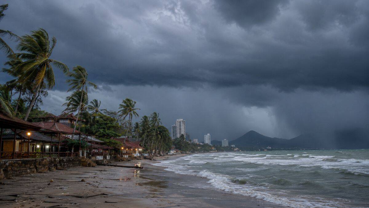
Image generated with Ai
Thailand is preparing for another period of widespread unsettled weather as the Thai Meteorological Department (TMD) forecasts extensive thunderstorms, heavy rainfall, and hazardous marine conditions across much of the country through July 27. The latest weather outlook indicates that strengthening southwest monsoon winds, combined with a monsoon trough stretching across northern Thailand and the upper Northeast, will create favorable conditions for persistent rain, localized flooding, and dangerous sea conditions affecting travelers, local communities, and maritime operations.
For domestic and international travelers, the evolving weather pattern highlights the importance of monitoring local forecasts before beginning journeys, particularly to coastal destinations, national parks, mountain regions, and island provinces. Authorities are urging residents and visitors to remain alert for flash floods, overflowing waterways, and strong winds, while marine operators have been advised to exercise additional caution as wave heights continue to increase across the Andaman Sea and parts of the Gulf of Thailand. Although Typhoon Noul has already made landfall in Guangdong, China, meteorologists confirmed it is not expected to enter Thailand, allowing the country’s weather to remain primarily influenced by seasonal monsoon systems rather than direct tropical cyclone impacts.
Thailand Faces Widespread Thunderstorms as Monsoon Activity Intensifies
The Thai Meteorological Department expects thunderstorms to affect large portions of the country during the latest 24-hour forecast period.
| Region | Thunderstorm Coverage | Rainfall Outlook |
|---|---|---|
| North | 70% | Heavy rain in isolated districts |
| Northeast | 70% | Heavy rain in several provinces |
| East | 70% | Heavy to very heavy rainfall |
| South (West Coast) | 70% | Heavy to very heavy rainfall |
| Bangkok & Vicinity | 60% | Frequent thunderstorms |
| Central | 60% | Isolated heavy rain |
| South (East Coast) | 40% | Scattered thunderstorms |
Meteorologists explain that the active weather pattern is being driven by a monsoon trough extending across northern Thailand into the upper Northeast while a strengthening southwest monsoon continues transporting abundant moisture across the Andaman Sea, the Gulf of Thailand, and mainland regions.
Advertisement
Advertisement
Heavy Rainfall Raises Flash Flood Concerns Across Multiple Provinces
Authorities have warned that repeated rainfall may trigger localized flooding, especially in areas already saturated by previous precipitation.
Advertisement
Advertisement
| Region | Provinces Facing Higher Rainfall Risk |
|---|---|
| North | Mae Hong Son, Tak, Nan, Phitsanulok, Phetchabun |
| Northeast | Nong Khai, Bueng Kan, Sakon Nakhon, Nakhon Phanom, Mukdahan, Ubon Ratchathani |
| Central | Kanchanaburi |
| East | Chanthaburi, Trat |
| South (West Coast) | Ranong, Phang Nga |
Communities located near rivers, foothills, valleys, and low-lying terrain are considered particularly vulnerable to flash floods, runoff, and temporary water accumulation. Travelers visiting mountainous attractions or national parks are encouraged to verify local conditions before departure.
Bangkok Expected to Experience Frequent Thunderstorms
Thailand’s capital and neighboring provinces are also forecast to experience unstable weather throughout the period.
| Weather Element | Forecast |
|---|---|
| Thunderstorm Probability | 60% |
| Minimum Temperature | 26–28°C |
| Maximum Temperature | 35–37°C |
| Wind Direction | Southwesterly |
| Wind Speed | 10–25 km/h |
Although temperatures will remain relatively high, periods of heavy rain could reduce visibility, affect road traffic, and slow urban transportation during peak travel periods.
Marine Conditions Become Increasingly Dangerous
The strengthening southwest monsoon is generating rougher seas across the Andaman Sea and sections of the Gulf of Thailand.
| Marine Area | Expected Wave Height |
|---|---|
| Upper Andaman Sea | 2–3 metres |
| Upper Andaman Sea during storms | Above 3 metres |
| Lower Andaman Sea | Around 2 metres |
| Upper Gulf of Thailand | Around 2 metres |
| Thunderstorm Areas | Higher than forecast averages |
Marine authorities have advised fishing vessels, passenger boats, and tourism operators to closely monitor weather developments. Small boats operating in the upper Andaman Sea are advised to remain ashore until sea conditions improve.
Advertisement
Advertisement
East Coast and West Coast Weather Show Different Rainfall Patterns
Thailand’s southern peninsula continues to experience contrasting weather between the two coastlines.
| Coast | Thunderstorm Coverage | Key Weather Conditions |
|---|---|---|
| East Coast | 40% | Moderate rainfall with localized storms |
| West Coast | 70% | Heavy to very heavy rainfall and rough seas |
The west coast remains under greater influence from moisture-laden southwest monsoon winds moving inland from the Andaman Sea, increasing rainfall intensity across several provinces.
Typhoon Noul Will Not Directly Affect Thailand
Meteorologists confirmed that Typhoon Noul has already made landfall in Guangdong Province, China, and is not forecast to track into Thailand.
This means Thailand’s current weather hazards are primarily associated with seasonal monsoon circulation rather than direct tropical cyclone impacts. Nevertheless, the combination of monsoon moisture and atmospheric instability remains capable of producing intense localized rainfall and hazardous marine conditions.
Travel Advisory for Visitors Across Thailand
The latest forecast has significant implications for tourism, transportation, and outdoor recreation.
Advertisement
Advertisement
Travelers planning visits to beaches, islands, waterfalls, hiking destinations, and national parks should monitor weather forecasts regularly and prepare for sudden changes in conditions. Ferry operators may adjust schedules if wave heights continue increasing, while road travel through mountainous regions may experience temporary disruptions caused by heavy rainfall or localized flooding.
Urban travelers in Bangkok and other major cities should allow additional travel time due to possible congestion during periods of intense rainfall. Visitors planning marine excursions, diving trips, snorkeling activities, or island transfers should consult local operators regarding current sea conditions before departure.
Weather Outlook Highlights Thailand’s Peak Monsoon Season
The latest forecast reinforces the continuing influence of Thailand’s annual southwest monsoon, which traditionally brings widespread rainfall between May and October.
While seasonal rainfall plays an essential role in replenishing reservoirs and supporting agriculture, periods of heavy precipitation also increase the likelihood of transportation delays, localized flooding, hazardous driving conditions, and disruptions to tourism activities. Travelers, businesses, and local authorities are therefore encouraged to remain informed through official weather updates and exercise appropriate caution until conditions improve.
Frequently Asked Questions
1. Why is Thailand experiencing widespread thunderstorms?
A strengthening southwest monsoon and a monsoon trough across northern Thailand are generating widespread rainfall and thunderstorms.
Advertisement
Advertisement
2. Which regions are expected to receive the heaviest rainfall?
The North, Northeast, East, and the South’s west coast are forecast to experience the most significant rainfall, with isolated heavy to very heavy downpours.
3. Is Bangkok affected by the weather warning?
Yes. Bangkok and surrounding provinces are expected to experience thunderstorms across about 60% of the metropolitan area.
4. Which provinces face very heavy rainfall?
Chanthaburi, Trat, Ranong, and Phang Nga are among the provinces expected to receive very heavy rainfall.
5. Are flash floods possible?
Yes. Heavy and accumulated rainfall could trigger flash floods and forest runoff, especially in low-lying areas and near waterways.
6. How dangerous are sea conditions in the Andaman Sea?
Wave heights may reach 2–3 metres and exceed 3 metres during thunderstorms in the upper Andaman Sea.
Advertisement
Advertisement
7. Should small boats operate during this period?
Authorities advise small boats in the upper Andaman Sea to remain ashore until weather and sea conditions improve.
8. Will Typhoon Noul directly impact Thailand?
No. The typhoon has made landfall in Guangdong, China, and is not expected to move into Thailand.
9. Should travelers change their plans?
Travelers should closely monitor official weather forecasts and check transport and marine conditions before departure, particularly for coastal and outdoor destinations.
10. How long does the current forecast cover?
The weather outlook covers the 24-hour period from 6:00 a.m. on July 26 to 6:00 a.m. on July 27, with widespread thunderstorms expected across much of Thailand.
Advertisement
