
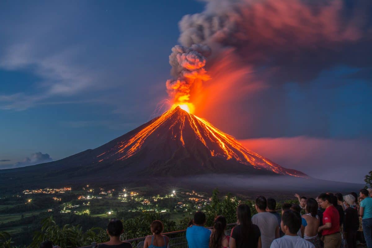
Image generated with Ai
The recent geological disturbance involving Mount Ibu has brought renewed attention to the volatile nature of the region. Situated within the West Halmahera regency of Indonesia’s North Maluku province, this formidable natural structure stands as an active volcanic vent. Because of its geological positioning along the Pacific Ring of Fire, the entire nation is exposed to frequent seismic shifts and tectonic movements.
Historical data indicates that the area experiences continuous subterranean pressures. Consequently, regular subterranean adjustments manifest as sudden surface eruptions. During the latest geological event, an intense expulsion of subterranean materials occurred. This event projected a massive column of debris high into the atmosphere. Monitoring agencies and volcanologists closely track these developments. Therefore, subsurface magma movements are understood, and potential secondary hazards threatening local ecosystems are forecasted.
Advertisement
Strict safety protocols and precautionary guidelines have been established by local disaster management agencies. These measures are designed for individuals residing in or visiting the impacted region. A designated exclusion zone is enforced, strictly prohibiting all public access, trekking, and tourism activities within a specific radius surrounding the primary crater.
Residents and visitors caught in areas affected by drifting particulate matter must follow specific safety steps:
Advertisement
Advertisement
Travelers navigating through or near the affected zones must adopt proactive safety precautions to ensure personal well-being:
Immediate disruptions have been experienced by the transportation sector. Regional and international flight corridors are heavily affected. Because fine volcanic ash poses severe mechanical and visibility hazards to aircraft engines, strict airspace restrictions are enforced by aviation authorities.
Consequently, travelers face several challenges:
Passengers booked on routes traversing the affected regional airspace are strongly advised to maintain continuous contact with their respective carriers. Furthermore, preventive measures are recommended. Travelers should monitor real-time flight status boards and prepare for unexpected route diversions to mitigate the inconvenience caused by these unforeseen natural phenomena.
Advertisement
Advertisement
Commercial aviation and tourism industries operating within the archipelago face recurring operational challenges. High levels of volcanic activity demand constant vigilance. Regional carriers and international airlines coordinate closely with meteorological bodies and geological observation centers. Together, they track ash dispersion patterns driven by atmospheric winds.
The economic impacts extend beyond cancelled tickets. Regional tourism revenues and logistical supply chains are heavily influenced. Whenever ash concentrations exceed safe operational thresholds, aviation safety protocols dictate immediate flight suspensions. Thus, passenger protection consistently supersedes scheduling expediency.
Additionally, insurers and travel operators continuously re-evaluate risk assessment strategies. Itineraries involving regions prone to seismic disturbances require careful planning. Consequently, technological investments in advanced radar monitoring and satellite tracking systems are prioritized by aviation authorities. These investments enhance early warning capabilities and minimize widespread economic paralysis.
Modern crisis management protocols reflect a significant evolution from older disaster response frameworks. Historically, responses to sudden eruptions were often reactive. This resulted in delayed airspace closures and fragmented communication channels between geological agencies and commercial airlines.
In contrast, contemporary practices incorporate advanced satellite tracking and standardized aviation color-coded warning systems. Automated information dissemination networks instantly notify international carriers of localized hazards. Furthermore, enforcement of exclusion perimeters has become more systematic. Modern GIS mapping is leveraged to protect populations effectively. These refined administrative developments ensure that modern safety interventions are executed with greater precision. Ultimately, risks to human life are minimized while the efficiency of emergency responses during major geological events is optimized.
Advertisement
Advertisement
Advertisement













Sunday, September 6, 2026

Sunday, September 6, 2026

Sunday, September 6, 2026

Saturday, September 5, 2026

Saturday, September 5, 2026

Sunday, September 6, 2026

Sunday, September 6, 2026