
Miami Faces Growing Coastal Flood Threat as King Tides, Heavy Rain and Dangerous Rip Currents Raise Travel Concerns Across South Florida in October 2026

Published
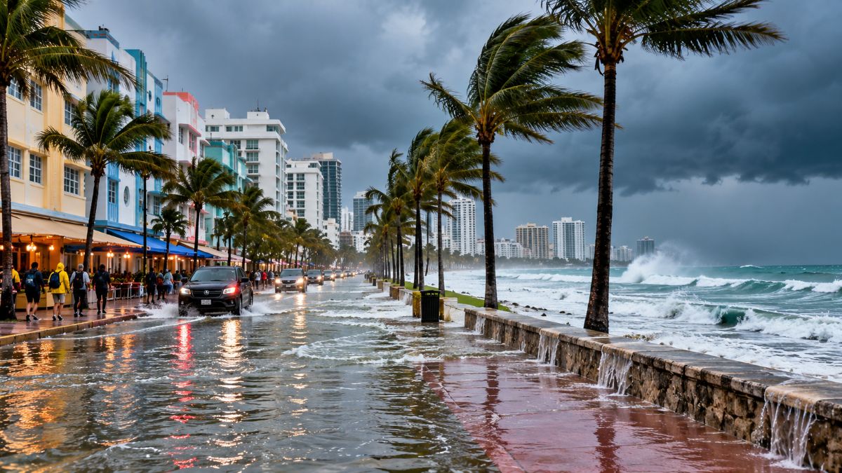 Image generated with Ai
Miami and surrounding areas of South Florida are facing increased coastal flooding risks between 23 and 26 October 2026 as king tides, heavy rainfall, strong onshore winds and dangerous rip currents threaten low-lying coastal communities. The US National Weather Service (NWS) has issued a Coastal Flood Advisory for coastal Miami-Dade and Broward counties, alongside a High Rip Current Risk affecting Atlantic-facing beaches. The weather conditions could create difficulties for beachgoers, motorists and tourists visiting waterfront destinations. Forecasters are particularly concerned about Sunday and Monday, 25–26 October, when high tides and rainfall may combine to increase flooding.
Miami Faces Coastal Flooding as High Tides and Rainfall Threaten South Florida
Miami is entering a period of unsettled weather, with showers, thunderstorms and high tides expected to affect the region through the weekend.
Advertisement
Advertisement
According to the National Weather Service information issued for 23 October, coastal Miami-Dade and Broward counties face a risk of moderate coastal flooding.
The concern is greatest in low-lying locations near the ocean and other tidal waterways. Roads, parks and waterfront areas may experience temporary flooding when tides reach their highest levels.
Advertisement
Advertisement
Strong onshore winds can make conditions worse by pushing seawater towards the coast. Rainfall can add to the problem, particularly where drainage systems are already affected by high water levels.
Although coastal flooding is the main concern, thunderstorms and dangerous rip currents may also affect outdoor activities.
Advertisement
Advertisement
These conditions do not mean a hurricane is approaching Miami. The alerts concern local coastal and marine hazards.
National Weather Service Issues Coastal Flood Advisory and Rip Current Warning
The National Weather Service has identified two important hazards affecting South Florida’s coastal communities.
The Coastal Flood Advisory is scheduled to remain in effect until 8:00 PM Eastern Daylight Time on Saturday, 24 October 2026.
Meanwhile, the High Rip Current Risk is expected to continue through Saturday evening.
Forecasters have also warned that coastal flooding could become more serious during the king tides on Sunday and Monday.
Official Miami Weather Alerts: 23–26 October 2026
| Weather alert | Affected areas | Period | Expected conditions | Potential impact |
|---|---|---|---|---|
| Coastal Flood Advisory | Coastal Miami-Dade and Broward counties | Until 8:00 PM EDT, 24 October | Moderate coastal flooding during high tides | Flooded roads, parks and waterfront areas |
| High Rip Current Risk | Atlantic-facing beaches | Through 24 October evening | Dangerous currents moving away from shore | Hazardous swimming conditions |
| Increased coastal flooding risk | Low-lying coastal communities | 25–26 October | King tides, rainfall and onshore winds | Possible worsening flooding and access difficulties |
Source: National Weather Service Miami. The 25–26 October concern is a forecast risk, not confirmation that a higher-level warning has been issued.
Advertisement
Advertisement
King Tides Could Make Coastal Flooding Worse on 25 and 26 October
King tides are unusually high tides that can cause seawater to reach roads, pavements and other low-lying coastal locations.
Miami and surrounding communities are particularly vulnerable because some coastal areas sit close to sea level.
During 25–26 October, the combination of king tides, rainfall and onshore winds could increase flooding in vulnerable locations.
Water may collect on coastal roads and near waterfront properties, even where rainfall is not exceptionally heavy.
The National Weather Service has indicated that the Coastal Flood Advisory may need to be extended or upgraded if conditions worsen.
However, this remains a possibility rather than a confirmed change.
Advertisement
Advertisement
Residents and visitors should follow official weather alerts and avoid driving through flooded streets.
Miami Weather Forecast Shows Heavy Rain and Thunderstorm Risks Through 29 October
The seven-day forecast indicates unsettled conditions across Miami, with the highest rain probabilities expected during the weekend and early Monday.
Temperatures are forecast to remain warm, generally between 27°C and 29°C during the day.
Miami Seven-Day Weather Forecast
| Date | Forecast conditions | High | Daytime rain chance | Main concern |
|---|---|---|---|---|
| Friday, 23 October | Cloudy periods, showers and breezy weather | 28°C | 100% | Coastal flooding |
| Saturday, 24 October | Breezy with showers and possible thunderstorms | 29°C | 88% | Rip currents and high tides |
| Sunday, 25 October | Showers and possible heavy thunderstorms | 28°C | 95% | King tides and flooding |
| Monday, 26 October | Heavy showers, humid and windy | 27°C | 91% | Coastal flooding |
| Tuesday, 27 October | Humid with scattered showers | 29°C | 70% | Localised rain |
| Wednesday, 28 October | Clouds, sunshine and occasional showers | 28°C | 72% | Intermittent rainfall |
| Thursday, 29 October | Partly sunny with occasional showers | 28°C | 73% | Localised rainfall |
Source: Weather forecast snapshot supplied for Miami on 23 October 2026. Rain probabilities indicate the chance of measurable precipitation, not the probability of flooding.
Sunday and Monday stand out because heavy showers may coincide with unusually high tides.
However, the forecast does not mean continuous rainfall is expected throughout each day.
Advertisement
Advertisement
Dangerous Rip Currents Raise Safety Concerns at Miami Beaches
Beach conditions are another major concern for visitors travelling to Miami during the weekend.
The National Weather Service has issued a High Rip Current Risk for Atlantic-facing beaches in Miami-Dade and Broward counties through Saturday evening, 24 October.
Rip currents are powerful channels of water that move away from the shore. They can carry swimmers into deeper water, even when the sea appears relatively calm.
The NWS warns that dangerous marine and beach conditions could continue into the following week. Its 23 October forecast discussion indicates that the high rip current risk may persist along Atlantic beaches until at least the middle of next week.
Visitors should swim only where lifeguards are present and follow local beach warnings. Anyone caught in a rip current should avoid swimming directly against it and seek help.
Strong Winds and Heavy Rain Could Increase Flooding Risks
The latest NWS forecast discussion, issued on 23 October, identifies additional concerns for Sunday and Monday.
Advertisement
Advertisement
Forecasters say wind gusts exceeding 35 mph, approximately 56 km/h, are possible. Heavy rainfall could also produce isolated flash flooding across eastern South Florida’s metropolitan areas.
The combination of strong winds, heavy rain and high tides is particularly concerning.
High seawater levels can slow the drainage of rainwater. Meanwhile, onshore winds can push additional water towards the coast.
The NWS states that major coastal flooding is possible late in the weekend and early the following week. This represents a more serious potential outcome than the moderate flooding covered by the existing advisory.
However, major flooding remains a forecast possibility, not a confirmed outcome.
What the Weather Means for Miami Tourism and Travel
Miami’s tourism industry includes beaches, waterfront attractions, restaurants, hotels, cruises and outdoor recreation.
Advertisement
Advertisement
The unsettled weather may affect visitors planning activities along the coast.
Beachgoers face the clearest confirmed safety concern because of the official rip current alerts.
Motorists may also encounter flooded streets in vulnerable coastal locations. The NWS advises allowing additional travel time and avoiding roads covered by water.
Marine activities could face difficult conditions because of stronger winds and rougher seas.
However, the available official weather information does not confirm widespread hotel closures, cancelled flights or suspended cruise operations.
Travellers should therefore check directly with their transport providers and accommodation operators rather than assuming services have been cancelled.
Advertisement
Advertisement
Miami Weather Outlook: What Happens After 26 October?
The supplied forecast indicates that unsettled weather may continue after the weekend.
Tuesday, 27 October, is expected to remain humid, with scattered showers and a maximum temperature near 29°C.
Wednesday may bring a mixture of clouds, sunshine and occasional rainfall.
Similar conditions are forecast for Thursday, 29 October, with temperatures remaining close to 28°C.
Although the forecast suggests periods of sunshine, visitors should remain prepared for sudden showers.
The most serious coastal flooding concerns remain concentrated around the peak king tides on Sunday and Monday.
Advertisement
Advertisement
Weather conditions and warning periods may change as forecasters receive new information.
Official Weather Authorities Continue to Monitor South Florida
The National Weather Service Miami office is responsible for issuing local forecasts, coastal flood advisories, rip current statements and other weather warnings.
Travellers can follow the official NWS Miami forecast and warning service for updated conditions.
The National Weather Service forecast portal also provides location-specific forecasts.
For tropical storm and hurricane information, the National Hurricane Center remains the official authority.
These sources are particularly important because coastal flood advisories may be extended or upgraded as conditions develop.
Advertisement
Advertisement
Miami’s Coastal Flood Threat Makes 25–26 October the Key Period to Watch
Miami’s immediate weather concerns centre on moderate coastal flooding, dangerous rip currents, heavy rainfall and unusually high tides.
The National Weather Service has confirmed coastal flood and rip current advisories through Saturday, 24 October. It has also identified the possibility of more serious flooding on Sunday and Monday as king tides reach their peak.
The combination of high seawater levels, onshore winds and rainfall could create difficult conditions in low-lying coastal communities.
For travellers, the main precautions are to monitor official warnings, avoid flooded roads and follow beach safety instructions.
Advertisement
