
Portugal Aligns with Spain, Iceland, Italy, and Greece as the Azores Strengthen Volcanic Emergency Preparedness, Enhancing Safer Travel Planning and Community Resilience Across Europe’s Active Island Destinations: Latest Update
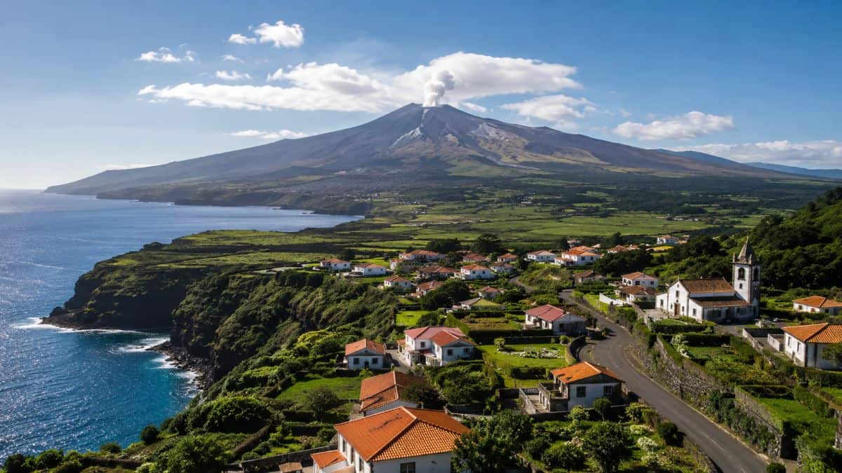
Image generated with Ai
Portugal is reinforcing its reputation as one of Europe’s safest volcanic tourism destinations by strengthening emergency preparedness across the Azores, where authorities continue refining evacuation strategies without suggesting that an eruption is imminent. The latest clarification from the Regional Government highlights an important distinction that matters for both residents and international travelers: emergency planning is based on preparedness rather than prediction. This approach reflects internationally accepted disaster-management practices designed to protect lives while maintaining transparency during periods of increased geological activity. For visitors considering the Azores, the government’s detailed explanation provides reassurance that robust contingency plans exist alongside continuous scientific monitoring.
The renewed focus on volcanic preparedness comes after questions surrounding emergency planning on Terceira Island’s western coast during the Santa Bárbara seismic-volcanic episode. Authorities emphasized that operational evacuation exercises—including land, sea, and air evacuation scenarios—were developed solely to improve readiness under hypothetical circumstances. Officials also firmly rejected claims that government agencies had produced reports forecasting fatalities during the crisis. The clarification reinforces Portugal’s commitment to evidence-based risk communication, responsible tourism, and resilient destination management while demonstrating how one of Europe’s most geologically active archipelagos balances public safety with sustainable travel development.
Advertisement
Advertisement
Portugal Reinforces Emergency Preparedness Across the Azores
The Azores remain one of Europe’s most remarkable volcanic destinations, attracting travelers with dramatic landscapes, geothermal attractions, crater lakes, whale watching, hiking trails, and UNESCO-recognized natural heritage. Living with active geological systems requires continuous monitoring and comprehensive emergency planning.
Regional authorities confirmed that Civil Protection agencies prepared multiple operational response plans covering different volcanic scenarios affecting western Terceira Island. These plans were developed to ensure authorities can respond rapidly should conditions ever require protective measures.
Advertisement
Advertisement
Rather than representing scientific forecasts, officials stressed that the evacuation scenarios serve as preparedness exercises similar to emergency planning adopted in volcanic regions worldwide.
Advertisement
Advertisement
| Emergency Planning Element | Official Clarification |
|---|---|
| Purpose | Preparedness and operational readiness |
| Scientific prediction | Not intended as eruption forecasting |
| Evacuation options | Land, maritime, and aerial transport |
| Public alerts | Emergency SMS and warning systems |
| Monitoring authority | CIVISA scientific monitoring |
Why the Santa Bárbara Volcano Drew Attention
The Santa Bárbara volcanic system became the focus of increased monitoring following seismic activity that prompted precautionary planning across western Terceira.
Authorities explained that emergency agencies created multiple operational models evaluating different hypothetical developments. One exercise assumed lava flows could affect the parish of Cinco Ribeiras, requiring coordinated evacuation procedures.
Government representatives emphasized that such simulations are common practice in disaster risk management and should never be interpreted as predictions that an eruption will occur.
Advertisement
Advertisement
Scientific monitoring throughout the seismic-volcanic episode continued independently through specialized experts responsible for evaluating volcanic behavior.
Table: Scientific Monitoring Versus Emergency Planning
| Scientific Monitoring | Emergency Planning |
|---|---|
| Tracks earthquakes | Develops evacuation procedures |
| Measures volcanic activity | Coordinates emergency logistics |
| Evaluates eruption probability | Tests operational readiness |
| Issues volcanic alert levels | Organizes public response systems |
| Conducted by scientific experts | Managed by Civil Protection |
Government Rejects Fatality Forecast Allegations
One of the central issues addressed by the Regional Government involved claims that official agencies had estimated potential deaths resulting from a volcanic eruption.
Advertisement
Advertisement
Authorities categorically denied producing or possessing reports estimating fatalities.
Officials explained that while evacuation planning necessarily considers worst-case operational scenarios, these exercises do not include official casualty forecasts or predictions of future events.
The clarification followed parliamentary questions concerning media reports suggesting that official maps may have anticipated significant loss of life.
Government representatives reiterated that emergency preparedness should not be confused with scientific forecasting.
Large-Scale Civil Protection Exercises Improve Readiness
Preparedness across the Azores has been strengthened through a series of extensive emergency exercises involving multiple agencies.
Advertisement
Advertisement
Among the most significant was the TOURO24 exercise, which simulated a lava-flow scenario affecting Cinco Ribeiras.
The operation tested coordination among emergency responders, transportation authorities, maritime services, aviation support teams, municipal agencies, and communication networks.
Subsequent BASALTO exercises conducted throughout 2024, 2025, and 2026 further refined evacuation procedures under different volcanic emergency scenarios.
| Civil Protection Exercise | Primary Objective |
|---|---|
| TOURO24 | Multi-agency volcanic evacuation simulation |
| BASALTO 24.4 | Community emergency response |
| BASALTO 25.3 | Evacuation during hypothetical eruption |
| BASALTO 26.1 | Operational readiness testing |
| BASALTO 26.2 | Response coordination improvements |
Infrastructure Investments Support Safer Access
Emergency preparedness also includes improving transportation infrastructure.
Authorities invested approximately €400,000 to upgrade an alternative forest road capable of supporting emergency movements if the primary Raminho Road remains unavailable.
Advertisement
Advertisement
Road improvements included pavement upgrades and widening sections to improve vehicle accessibility for emergency services.
Officials acknowledged that no engineering study concluded the alternative route fully matches the original highway’s capacity.
Nevertheless, authorities maintained that available evacuation options remain adequate under existing emergency planning.
Understanding the Raminho Road Closure
The Raminho Road became inaccessible following the January 2024 earthquake that destabilized volcanic slopes overlooking the highway.
Engineering assessments identified continuing landslide risks due to unstable terrain.
Advertisement
Advertisement
Experts recommended cautious reopening only after sufficient stabilization measures or declining seismic activity.
Protective engineering measures proposed included concrete safety barriers, temporary traffic management systems, and slope stabilization initiatives.
These recommendations illustrate how geological hazards in volcanic regions extend beyond eruptions to include earthquake-related landslides.
Travel Confidence Remains Strong in the Azores
Despite increased emergency planning, officials stressed that no imminent eruption was identified during monitoring.
The highest volcanic alert remained below the threshold typically associated with pre-eruptive conditions.
Advertisement
Advertisement
For travelers, this distinction is significant.
Modern volcanic destinations increasingly combine sophisticated scientific monitoring with proactive emergency planning, allowing tourism to continue safely while maintaining high preparedness standards.
Portugal’s transparent communication demonstrates internationally recognized best practices in balancing visitor confidence with responsible risk management.
Why Emergency Planning Benefits Tourism
Preparedness planning is increasingly viewed as an essential component of sustainable tourism management.
Destinations located near volcanoes—including those in Iceland, Italy, Greece, and Portugal—routinely prepare contingency strategies even during periods of normal volcanic activity.
Advertisement
Advertisement
These preparations enhance visitor safety while improving coordination among emergency services.
Rather than discouraging tourism, comprehensive preparedness often increases traveler confidence because visitors know authorities maintain detailed operational procedures should unusual circumstances arise.
Portugal’s latest clarification reinforces this principle by separating scientific evidence from precautionary planning.
The Azores Continue Building Long-Term Resilience
Emergency management across the Azores continues evolving through infrastructure improvements, scientific monitoring, public communication, evacuation planning, and regular emergency exercises.
Authorities have also developed communication systems capable of delivering emergency SMS notifications while identifying ports, small harbors, and helicopter landing sites that could support maritime or aerial evacuations if necessary.
Advertisement
Advertisement
The government maintains that preparedness is an ongoing responsibility for communities living within an active volcanic environment.
This long-term investment supports not only resident safety but also reinforces the Azores’ reputation as a resilient, professionally managed travel destination.
As global tourism increasingly values destination resilience, Portugal’s approach illustrates how science, infrastructure, transparent governance, and emergency planning work together to safeguard both communities and visitors while preserving one of Europe’s most extraordinary volcanic landscapes.
Frequently Asked Questions
1. Why did Portugal update volcanic evacuation plans in the Azores?
Authorities regularly improve emergency preparedness to ensure effective responses to hypothetical volcanic scenarios and protect residents and visitors.
2. Is a volcanic eruption expected on Terceira Island?
No. Officials stated that scientific monitoring did not indicate an imminent eruption.
Advertisement
Advertisement
3. Which volcano was involved in the preparedness planning?
The planning focused on the Santa Bárbara volcanic system on Terceira Island.
4. Were official fatality forecasts prepared?
No. The Regional Government confirmed it has not produced or possessed official casualty forecasts.
5. Why was the Raminho Road closed?
The road was closed following earthquake-related landslides that created ongoing slope instability.
6. What evacuation methods have been planned?
Authorities prepared evacuation procedures using road transportation, maritime resources, and helicopters if necessary.
7. Are tourists currently allowed to visit the Azores?
Yes. The islands remain open to tourism while authorities continue routine geological monitoring.
Advertisement
Advertisement
8. Why are emergency exercises important for tourism?
They improve coordination, strengthen public safety, and increase traveler confidence through better preparedness.
9. What makes the Azores a unique travel destination?
The archipelago offers volcanic landscapes, crater lakes, geothermal areas, marine wildlife, hiking, and rich Portuguese culture.
10. How does Portugal balance tourism with geological risks?
Portugal combines continuous scientific monitoring, infrastructure investment, transparent communication, and comprehensive emergency planning to support safe and sustainable tourism.
Advertisement
