
New York City Travel Alert as Nor’easter Threatens Coastal Flooding and Major Travel Disruption

Published
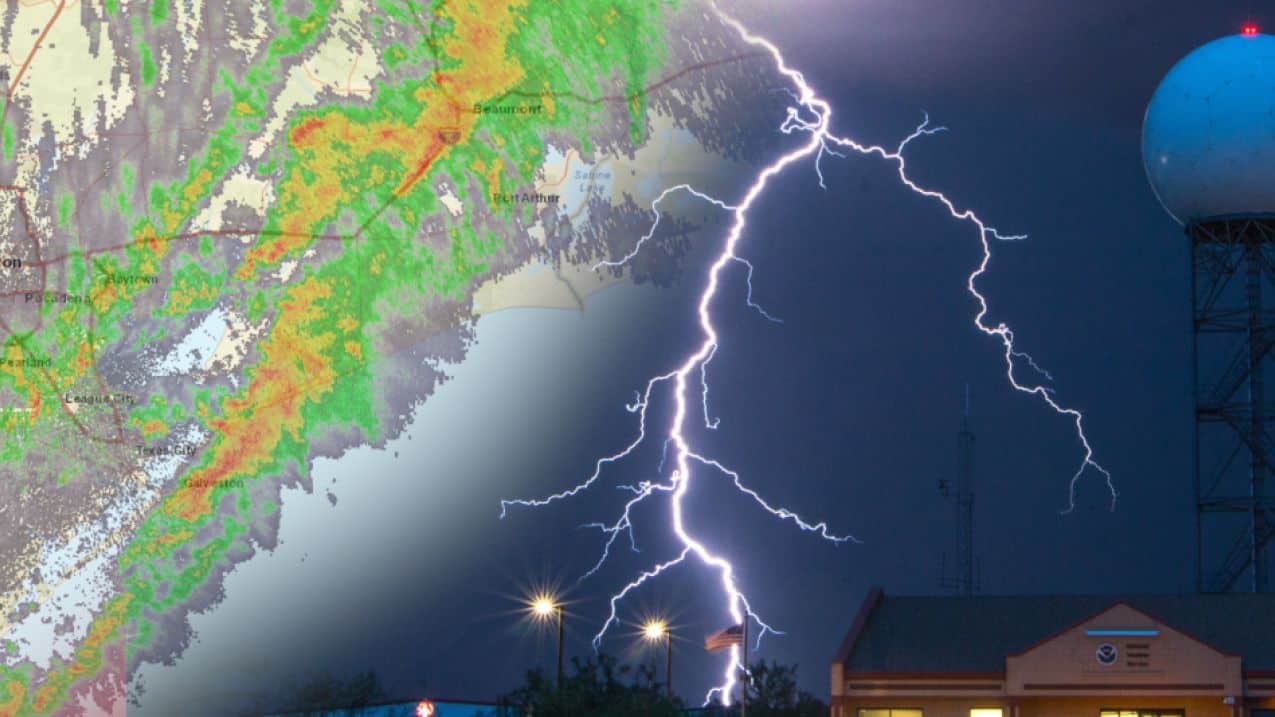
New York City is bracing for a weather-sensitive weekend as a nor’easter brings rain, strong winds and coastal flooding from Friday through Sunday. City officials expect around 1 to 1.5 inches of rain, with winds strengthening late Friday into Saturday morning. The most sensitive coastal periods coincide with Friday evening and Saturday morning high tides. The National Weather Service has issued a Wind Advisory from Friday afternoon through early Sunday. A Coastal Flood Advisory also covers Friday evening through Saturday morning. Vulnerable shoreline areas could experience one to two feet of inundation above ground level. The episode offers more than a short-term weather warning. It exposes how New York’s airports, transit network, waterfront districts and tourism economy are adapting to a more complicated coastal travel environment.
A Storm With Several Travel Variables
The current system is expected to pass offshore, keeping the heaviest rainfall east of New York City. Nevertheless, the city’s forecast calls for rain from Friday afternoon through Sunday, while gusts could reach 40 mph across the city. Conditions are expected to ease from Saturday night into Sunday as the storm moves farther offshore.
Advertisement
Advertisement
The distinction matters for visitors because a storm does not need to produce exceptional rainfall across Manhattan to disrupt a journey. Strong winds, elevated tides, surface water and transport bottlenecks can interact, producing localised interruptions across an otherwise functioning destination.
| Weather Factor | Current Forecast | Potential Travel Effect |
|---|---|---|
| Rainfall | 1–1.5 inches | Surface water and drainage pressure |
| Strongest period | Friday night–Saturday morning | More difficult journeys |
| Wind gusts | Up to 40 mph in NYC forecast | Walking, driving and aviation effects |
| Wind Advisory | Friday afternoon–Sunday morning | Extended caution period |
| Coastal flooding | Friday evening–Saturday morning | Waterfront access problems |
| Possible inundation | 1–2 feet in vulnerable areas | Roads and low-lying properties |
The National Weather Service also has coastal and surf-related alerts covering parts of the city’s shoreline. JFK and other exposed airport approaches therefore sit within a broader regional weather picture rather than an isolated Manhattan forecast.
Advertisement
Advertisement
Where High Tide Changes The Journey
The greatest practical distinction for visitors is geographical. New York City contains dense tourist districts, major transport hubs and exposed waterfront communities within a relatively compact metropolitan area.
Advertisement
Advertisement
City officials have highlighted coastal neighbourhoods including Staten Island’s eastern shore, the Rockaways and Jamaica Bay as areas requiring particular attention during high tides. Visitors should therefore avoid assuming that conditions around Times Square represent conditions across the entire five-borough travel network.
This creates a useful principle for travellers. A wet afternoon in Midtown may remain largely manageable, while a journey towards a waterfront neighbourhood can involve flooding, road restrictions or disrupted connections.
| Traveller Location | Principal Weather Exposure | Planning Consideration |
|---|---|---|
| Midtown Manhattan | Wind and heavy rain | Allow longer walking times |
| Lower Manhattan | Coastal and surface flooding | Monitor tide-related alerts |
| Rockaways | Coastal flooding and surf | Avoid exposed waterfront areas |
| Jamaica Bay | Tidal flooding | Check local warnings before travel |
| Staten Island waterfront | Coastal inundation | Allow alternative travel time |
| JFK area | Wind, coastal exposure | Monitor airline and access updates |
The lesson is straightforward: New York weather risk is not geographically uniform.
The Subway Reveals The Hidden Vulnerability
The scale of New York’s public transport network makes it central to the travel story. MTA data recorded 101.964 million subway rides in August 2025, showing the enormous volume of journeys that depend on the system each month.
That scale also explains why severe rainfall can have consequences beyond individual stations. During Hurricane Ida in 2021, flooding affected 45 subway stations and eight yards, while 11 subway lines and several commuter services experienced severe disruption. NYC Transit subsequently pumped approximately four million gallons of water from the subway system.
Advertisement
Advertisement
Ida remains an important benchmark because it demonstrated how surface flooding can migrate into underground infrastructure. It also showed that disruption can spread rapidly from one transport mode to another when major roads and rail corridors become inaccessible.
For visitors, the important distinction is between a network being technically operational and every station remaining practically accessible. Heavy rainfall can affect entrances, surrounding pavements and connecting roads even when trains continue running elsewhere.
Airports Operate As One Regional System
The New York aviation market presents another layer of complexity. JFK, LaGuardia and Newark Liberty serve a tightly connected metropolitan market, while aircraft and crews move through the wider Northeast airspace.
Consequently, a traveller can face disruption even when conditions at their departure airport appear manageable. Weather elsewhere can affect incoming aircraft, crew positioning, connecting passengers and air-traffic capacity.
The current storm is therefore a reminder to monitor the complete journey rather than the airport departure board alone. Travellers connecting through another Northeast gateway should also consider conditions along the wider route.
Advertisement
Advertisement
The region is simultaneously investing in long-term transport resilience. The Port Authority’s proposed $45 billion 2026–2035 capital plan encompasses major airport and transportation investment, including measures intended to strengthen infrastructure against severe weather.
For international travellers, this matters because New York’s airports are not simply arrival points. They are gateways within a much larger transport ecosystem whose reliability depends on roads, rail links, aircraft rotations and regional airspace.
Tourism Has A Huge Weather Exposure
The economic scale of New York tourism gives the storm a significance beyond individual weekend itineraries. New York City welcomed 65 million visitors in 2025, according to the city’s official tourism organisation. Those visitors generated $55.6 billion in direct spending and an estimated $84.7 billion in total economic impact.
Tourism activity supported approximately 397,000 jobs and generated about $7.5 billion in tax revenue during the year. The figures include spending across accommodation, attractions, restaurants, retail, entertainment and transportation.
| NYC Tourism Indicator | 2025 Figure |
|---|---|
| Total visitors | 65 million |
| Direct visitor spending | $55.6 billion |
| Total economic impact | $84.7 billion |
| Tourism-supported jobs | 397,000 |
| Tax revenue generated | $7.5 billion |
These figures explain why weather resilience increasingly belongs inside tourism planning. A transport interruption can affect hotel check-ins, restaurant reservations, Broadway attendance, attraction visits and airport departures within the same day.
Advertisement
Advertisement
The exposure is particularly important for waterfront businesses. Restaurants, attractions, accommodation and recreational facilities concentrated near the city’s extensive shoreline can experience disruption from conditions that may have a smaller effect elsewhere.
Sandy Still Defines The Resilience Era
New York’s contemporary coastal planning cannot be understood without Hurricane Sandy. The storm struck the city on 29 October 2012, killing 44 New Yorkers and causing approximately $19 billion in damage and lost economic activity. Around 51 square miles of the city flooded, while nearly 90,000 buildings entered the inundation zone.
The storm exposed the interconnected nature of coastal vulnerability. Floodwater affected homes, businesses, electricity infrastructure, transport systems and waterfront districts simultaneously.
Sandy also changed the city’s approach to resilience. The policy emphasis shifted from recovering after a disaster towards strengthening infrastructure before the next major coastal event.
The current nor’easter is vastly smaller than Sandy according to the present forecast. Its significance lies instead in demonstrating how even moderate coastal systems can create targeted travel complications when tides, wind and water converge.
Advertisement
Advertisement
The Climate Numbers Are Reshaping Planning
New York’s long-range climate projections add another layer to the story. City planning documents based on New York City Panel on Climate Change projections indicate that by the 2050s, middle-range sea-level rise could reach 11 to 24 inches. The high estimate reaches 31 inches.
The same projections indicate a 5% to 10% increase in annual precipitation by the 2050s under the middle range. The high estimate reaches 15%. These are projections rather than forecasts for individual storms, but they provide the planning context behind today’s resilience investments.
| Climate Indicator | 2050s Middle Range | High Estimate |
|---|---|---|
| Sea-level rise | 11–24 inches | 31 inches |
| Annual precipitation | +5% to +10% | +15% |
| Mean temperature | +4°F to +5.5°F | +6.5°F |
Higher sea levels matter because coastal flooding begins from a higher baseline. That can make some future storm-driven water events more disruptive without requiring every storm itself to become stronger.
For tourism, this creates a new planning equation. Destination resilience increasingly affects destination accessibility, particularly for cities whose visitor experience is closely tied to waterfront districts.
Billions Are Protecting The Visitor Economy
New York is responding through an expanding portfolio of coastal projects. In July 2026, the city announced $43.2 million across its financial plan to expand the Bureau of Coastal Resilience and add 69 staff members. The programme includes planning for the city’s entire 520-mile coastline.
Advertisement
Advertisement
The Bureau currently has 15 active infrastructure projects. They include the $1.45 billion East Side Coastal Resiliency project, which uses raised parkland, floodwalls and 18 movable flood gates.
The city says ESCR will protect more than 110,000 New Yorkers, including approximately 28,000 public-housing residents. Its wider resilience programme also includes Battery Coastal Resilience, a $200 million investment, alongside other coastal projects across the five boroughs.
| Resilience Measure | Investment / Scale | Strategic Importance |
|---|---|---|
| Coastal Resilience Bureau expansion | $43.2m | 69 additional staff |
| City coastline planning | 520 miles | Five-borough coverage |
| East Side Coastal Resiliency | $1.45bn | 110,000+ people protected |
| Battery Coastal Resilience | $200m | Lower Manhattan protection |
| Active Bureau projects | 15 | Citywide resilience portfolio |
The infrastructure also demonstrates an important change in design philosophy. New York is combining flood protection with parks, pedestrian routes and waterfront improvements rather than treating resilience as a purely defensive engineering exercise.
What Travellers Should Monitor
The most useful response for visitors is not necessarily cancelling an itinerary. Instead, travellers should build weather redundancy into journeys during coastal storms.
| Before Leaving | While Travelling |
|---|---|
| Check airline notifications | Recheck transport alerts |
| Monitor National Weather Service warnings | Allow additional journey time |
| Check MTA service information | Avoid floodwater and barricaded roads |
| Review hotel location | Stay away from exposed waterfronts |
| Check high-tide periods | Follow official emergency instructions |
| Monitor airport access | Keep alternative routes available |
Visitors staying in basement or lower-level accommodation should pay particular attention to official emergency information. City guidance advises residents to know their exits and move to a higher floor if flooding enters their accommodation.
Advertisement
Advertisement
The city’s warning is especially relevant to drivers. Floodwater can conceal road damage and dangerous conditions, while moving water can rapidly compromise vehicle stability. Travellers should never attempt to drive through flooded roads simply because another vehicle appears to have passed.
New York’s Travel Model Is Evolving
The latest NYC nor’easter travel risks point towards a larger transformation in urban tourism. Weather resilience is becoming part of the infrastructure equation that supports airports, hotels, attractions, public transport and waterfront commerce.
For travellers, that means traditional itinerary planning increasingly needs another layer. Tides, flood exposure, transport redundancy and official alerts can matter almost as much as attraction opening hours during a coastal weather event.
The current storm should not be treated as a forecast of catastrophic disruption. Instead, it provides a useful real-time illustration of a destination learning to operate within a changing coastal environment. New York’s extensive resilience investments show that the city is planning well beyond a single storm, while travellers can respond by becoming more weather-aware and geographically informed.
Advertisement
