
United States Stands Alongside Hawaii as Hurricane Nolo Brings a Dangerous Weekend of Flash Floods and Extreme Surf

Published
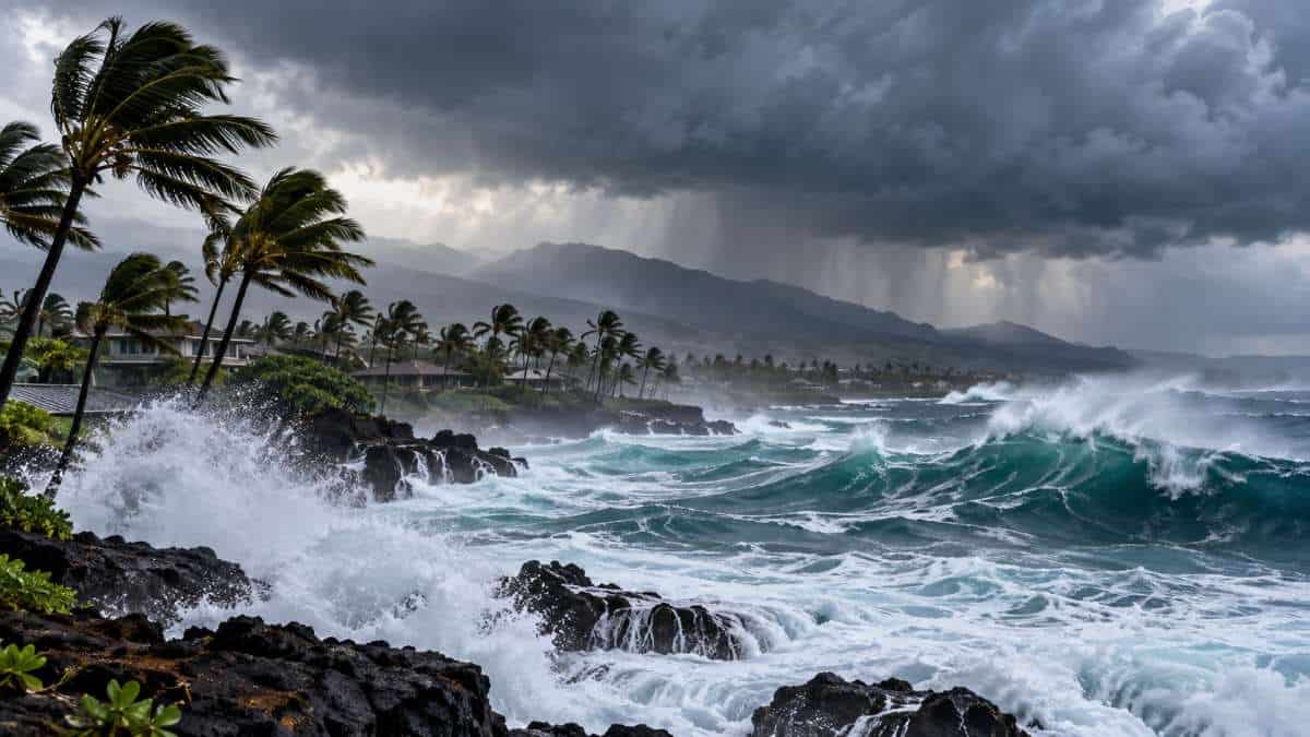
Image generated with Ai
Along with the state of Hawaii, the United States is under threat from Hurricane Nolo, which is about to cause a hazardous weekend of flash floods and severe surf. Although the powerful hurricane is passing south of the Hawaiian Islands, its impact goes beyond its core, bringing heavy rains, strong winds, and unsafe oceanic conditions. Moreover, while authorities are closely monitoring the hurricane, conditions could worsen as rainfall increases and the risk of flash floods rises. In spite of that, the current advisory does not mention the possible landfall of the hurricane on the main Hawaiian Islands; travelers must take the situation seriously and pay attention to weather advisories, transport changes, and local instructions for safety. For travelers planning their Hawaii vacations, this developing weather situation may affect flights, driving, sightseeing, and beach trips. Travel And Tour World encourages its readers to read further for the latest dangers and travel troubles.
Hurricane Nolo: Official Weather Threat Across Hawaii
| Area / Factor | Official Forecast or Status | Travel Significance |
|---|---|---|
| Hawaii Island – Eastern & Southern Areas | 8–12 inches of rainfall; maximum amounts of 16 inches | Significant, potentially life-threatening flooding and mudslides |
| Hawaii Island – Western Areas | 1–3 inches; maximum amounts of 6 inches | Heavy rain and localised flooding possible |
| Eastern Maui | 4–6 inches; maximum amounts of 8 inches | Life-threatening flooding and mudslides possible, especially in high terrain |
| Hurricane Nolo Wind Speed | Maximum sustained winds of 105 mph, with higher gusts | Dangerous winds, especially in exposed and mountainous areas |
| Hurricane-Force Wind Radius | Up to 45 miles from the centre | Severe wind conditions possible close to the storm |
| Tropical-Storm-Force Wind Radius | Up to 140 miles from the centre | Strong winds can affect areas well beyond the hurricane core |
| Hawaii County | Hurricane Watch and Tropical Storm Warning in effect in the cited advisory | Hurricane conditions possible; travellers should monitor emergency instructions |
| Maui County | Tropical Storm Watch in the cited advisory | Tropical-storm conditions possible; outdoor activities may be affected |
| Storm Track | Centre forecast to remain well south of the main Hawaiian Islands | No direct landfall was forecast in the cited advisory, but impacts can extend far from the centre |
| Coastal Areas | Dangerous waves and coastal flooding possible | Beach activities, swimming and coastal excursions may become unsafe |
Hurricane Nolo Expected to Unleash Powerful Winds and Flash Flooding Across Hawaii as Big Island Faces Severe Weather Threat
Hawaii is facing a serious tropical weather threat as Hurricane Nolo moves slowly south of the islands, bringing heavy rain, powerful winds, dangerous surf and the risk of catastrophic flash flooding. The storm has strengthened into a Category 2 hurricane, with maximum sustained winds of around 105 mph, while forecasters warn that further strengthening remains possible.
Advertisement
Advertisement
The centre of Nolo is expected to remain south of the main Hawaiian Islands rather than making a direct landfall. But that does not remove the danger. Tropical systems can produce their most disruptive impacts well away from the eye, particularly when moisture interacts with steep island terrain.
For Hawaii, the immediate concern is therefore not simply where the hurricane goes. It is how much rain reaches the islands, how strong the winds become and how the terrain responds.
Advertisement
Advertisement
The Big Island is at the centre of the threat, with eastern and southern areas facing the greatest risk of intense rainfall, flash flooding and mudslides. Maui is also exposed to heavy rain and flooding, while dangerous surf and strong winds can affect a much wider area.
Comment from Anup Kumar Keshan, Founder and Editor-in-Chief, Travel And Tour World:
Advertisement
Advertisement
“Hurricane Nolo is a reminder that travel resilience depends on preparation, accurate information and responsible decision-making. As Hawaii faces powerful winds, heavy rainfall and flooding risks, travellers must put safety before itineraries. The tourism industry must also communicate clearly and respond quickly, ensuring visitors can navigate disruption with confidence and care.”
Nolo Strengthens as It Moves South of Hawaii
Nolo has developed into a powerful tropical system during its approach towards Hawaii. The latest National Hurricane Center information available on 26 September places the hurricane south of the Big Island, with maximum sustained winds of 105 mph and a minimum central pressure of 975 millibars.
The storm has also been moving unusually slowly.
That slow movement matters because tropical systems can continue to feed moisture towards nearby islands for an extended period. Instead of a quick passage, Hawaii can experience repeated bands of heavy showers and thunderstorms as the storm moves and changes direction.
The forecast track calls for Nolo to turn west and increase its forward speed. The centre is expected to remain well south of the main islands. However, the National Weather Service has stressed that the storm’s impacts will extend far beyond its centre.
This distinction is important for travellers. A hurricane does not need to cross an island to disrupt flights, roads, beaches, outdoor activities or hotel operations.
Advertisement
Advertisement
Hawaii Travel Disruptions and Safety Measures Linked to Nolo
| Travel or Tourism Area | Official Action / Risk | What It Means for Visitors |
|---|---|---|
| State Parks – Hawaii Island | State parks, camping areas and related facilities closed from 24 September | Hiking, camping and park visits are suspended |
| State Parks – Maui | Closures began from 25 September | Visitors should not plan outdoor park activities during closures |
| State Parks – Molokai | Closures began from 25 September | Hiking, camping and related recreational activities affected |
| Forest Reserves & Hiking Trails | Nā Ala Hele trails and forest areas closed on affected islands | Mountain and hiking excursions should be avoided |
| Camping Permits | State forest and state park camping permits suspended until further notice | Travellers should not rely on existing outdoor camping plans |
| Government & Public Schools | Closures introduced on Hawaii Island and Maui County during preparations | Indicates the scale of official precautionary measures |
| Emergency Operations | Hawaii State Emergency Operations Center placed at full activation | State and county agencies coordinating storm response |
| Federal Emergency Support | Pre-landfall Presidential Emergency Declaration approved | Federal assistance available for emergency protective measures |
| Road Travel | Flooding, debris and mudslides identified as potential hazards | Travellers should avoid unnecessary journeys and never drive through floodwater |
| Outdoor Tourism | Flash flooding, high winds and dangerous waves expected | Hiking, boating, swimming and other outdoor activities may be cancelled or unsafe |
Big Island Faces the Greatest Flood Risk
The eastern and southern parts of Hawaii Island are facing the most significant rainfall threat.
Earlier National Hurricane Center forecasts called for 10 to 15 inches of rain across eastern and southern parts of the Big Island, with maximum amounts potentially reaching 25 inches. Western areas were forecast to receive around 2 to 4 inches, with isolated higher totals.
The National Weather Service also warned that additional rainfall of around 10 to 15 inches could occur across windward and southeast areas, with locally higher totals possible.
These figures explain why officials are treating the flooding threat seriously.
Hawaii’s volcanic mountains and steep valleys can rapidly channel large amounts of water downhill. Heavy rainfall that falls over a short period can overwhelm streams, drainage systems, and roads.
Flooding can also happen in places that are not normally considered flood-prone.
Advertisement
Advertisement
The National Weather Service specifically warned that heavy rain could produce locally catastrophic flash flooding and mudslides across windward and southeast portions of the Big Island.
For residents and visitors, that means a seemingly safe road or hiking area can become dangerous very quickly.
Maui Also Remains Vulnerable
The Big Island is not the only Hawaiian island facing disruption.
Maui County has remained under tropical-weather and flood-related alerts as Nolo’s outer bands approach. Forecast rainfall has been lower than on the most exposed parts of the Big Island, but officials have still warned of flooding and mudslides, particularly in areas of higher terrain.
The National Hurricane Center previously forecast around 4 to 6 inches of rain for Maui, with isolated maximum totals of around 10 inches.
The island’s mountainous geography can make heavy rainfall particularly problematic. Roads can be affected by runoff, falling debris and poor visibility, while mountain routes may become unsafe even when conditions at coastal resorts appear manageable.
Advertisement
Advertisement
This creates a challenge for visitors because Hawaii’s weather can vary sharply across relatively short distances.
A beach resort may experience only intermittent rain while higher terrain receives much heavier precipitation.
Powerful Winds Remain a Concern
Rainfall is the headline hazard, but wind is another major part of the storm threat.
Nolo’s maximum sustained winds have reached around 105 mph, with higher gusts. Hurricane-force winds extend outward from the centre, while tropical-storm-force winds cover a much broader area.
The National Weather Service has warned that strong and gusty winds could affect all the Hawaiian Islands, with the strongest conditions expected closer to Nolo and particularly across exposed and mountainous terrain.
Mountain areas can amplify wind conditions. Gusts can become particularly hazardous around exposed ridges, roads and infrastructure.
Advertisement
Advertisement
For travellers, strong winds can have several consequences.
Flights may face delays or cancellations. Smaller aircraft operations can be particularly sensitive to turbulent or rapidly changing weather. Road conditions can deteriorate because of falling branches, debris and reduced visibility. Outdoor excursions may also be suspended.
Even where tropical-storm conditions do not occur, gusty winds can make beaches, trails and elevated viewpoints unsafe.
Dangerous Surf Adds Another Travel Hazard
Hawaii’s coastline is also being affected.
Swells generated by Nolo are spreading towards exposed shores, creating dangerous surf and rip-current conditions. High Surf Advisories have been issued for several areas, including exposed shores of the Big Island, Maui, and Molokai, with advisories also extending to other islands as conditions develop.
This is particularly relevant for visitors because beach conditions can appear deceptively attractive during tropical weather.
Advertisement
Advertisement
A calm period between rain bands does not necessarily mean the ocean is safe.
Large swells can continue arriving after the most obvious signs of the storm have moved away. Strong rip currents can pull swimmers away from shore, while breaking waves can become dangerous even for experienced beach users.
Swimming, snorkelling, surfing and coastal sightseeing should therefore be treated very cautiously wherever local authorities have issued warnings.
The Storm Does Not Need to Make Landfall to Cause Disruption
One of the most important points surrounding Nolo is that the forecast does not currently call for the hurricane’s centre to cross the main Hawaiian Islands.
Instead, the centre is expected to remain south of the state before turning westward.
That might sound reassuring, but the geography of tropical storms makes the situation more complicated.
Advertisement
Advertisement
A hurricane is a huge circulation system rather than a single point represented by its eye. Rain bands, strong winds and ocean swells can spread hundreds of kilometres from the centre.
Nolo’s tropical-storm-force winds extend considerably farther from its centre than its hurricane-force winds. That broad wind field allows the storm to affect the islands even when the eye remains offshore.
Rainfall can also be enhanced by Hawaii’s mountains.
Moisture carried by the storm reaches the islands and encounters steep terrain. The air rises, clouds intensify and rainfall can become concentrated over particular areas.
This is why the exact position of the hurricane’s eye is only one part of the travel picture.
Hawaii’s Terrain Can Turn Heavy Rain Into a Rapid Flooding Event
The islands’ dramatic landscapes are a major attraction for tourism. They are also one reason tropical rainfall can become dangerous.
Advertisement
Advertisement
Hawaii is characterized by steep volcanic slopes, narrow valleys and fast-flowing streams. When large amounts of rain fall over elevated terrain, water can move rapidly downhill.
Mudslides are another concern.
Saturated slopes can become unstable, particularly after prolonged rainfall. Roads passing through valleys or mountainous areas may be affected by falling rocks, mud and debris.
For visitors, this creates risks beyond the immediate weather conditions.
A road that was open in the morning could become hazardous later in the day. A hiking trail that appeared accessible could be affected by rising streams. A waterfall or river that normally attracts tourists could become extremely dangerous after intense rain.
The National Weather Service has therefore urged people to remain alert to flash-flood warnings rather than relying solely on current conditions outside their accommodation.
Advertisement
Advertisement
What Nolo Means for Travellers Visiting Hawaii
The storm is likely to have a direct effect on holiday plans, particularly on the Big Island and Maui.
Visitors with flights should monitor their airline and airport for operational changes rather than assuming that a flight will operate normally. Weather-related disruptions can change quickly as the storm develops.
Travellers staying in affected areas should also pay attention to local emergency information.
Outdoor activities may be cancelled or postponed. Boat trips, helicopter tours, hiking excursions, surfing activities and coastal sightseeing can all be affected by wind, rainfall, visibility and sea conditions.
Driving requires additional caution.
Heavy rain can reduce visibility, while flash flooding and debris can make roads unsafe. Mountain roads deserve particular attention because conditions can change quickly with elevation.
Advertisement
Advertisement
Travellers should avoid entering flooded roads or trails simply because other vehicles or people appear to be using them. Moving water can be deeper and stronger than it looks.
For tourists staying in hotels and resorts, following instructions from local authorities and property management is more important than trying to maintain a sightseeing schedule.
A missed beach afternoon is inconvenient. A flooded road or isolated traveller is a much bigger problem.
Hawaii’s Tourism Industry Faces a Difficult Weather Weekend
The timing of Nolo is significant for Hawaii’s tourism sector because the islands depend heavily on visitors moving between airports, resorts, beaches, attractions and outdoor experiences.
A major weather event can disrupt that network even without a direct landfall.
Airports may remain operational while individual flights are delayed. Roads may remain open in one district while routes elsewhere are temporarily affected by flooding. Hotels may operate normally while excursions are cancelled.
Advertisement
Advertisement
This can produce an uneven visitor experience.
For the tourism industry, communication becomes particularly important during such events. Visitors need clear information about cancellations, transport changes, beach restrictions and emergency procedures.
The challenge is not simply protecting visitors from the storm itself. It is also helping travellers make sensible decisions when conditions differ from one part of an island to another.
Emergency Preparations Have Already Increased
Hawaii has moved beyond routine weather monitoring and into active emergency preparations.
The state’s governor announced that a pre-landfall Presidential Emergency Declaration had been approved, allowing federal assistance for emergency protective measures across Honolulu, Hawaii, Maui and Kauai counties. The declaration provides a framework for federal support as authorities prepare for the storm.
Local authorities have also been preparing for flooding and other storm impacts.
Advertisement
Advertisement
On Maui, officials said the potential for significant impacts had decreased as the forecast shifted, but the county remained under weather-related watches and advisories and continued to urge vigilance.
That changing forecast illustrates the difficulty of predicting tropical systems.
Small changes in track, speed or intensity can alter which islands receive the heaviest rainfall and strongest winds.
Forecast Uncertainty Remains Important
Nolo’s behaviour has already demonstrated why residents and travellers should follow official updates rather than rely on older forecasts.
The hurricane has moved slowly and has changed its expected direction. Forecast guidance has indicated a turn towards the west, with the centre remaining south of Hawaii.
At the same time, the storm has strengthened.
Advertisement
Advertisement
The combination of slow movement and changing intensity means conditions can evolve rapidly.
For travel planning, this makes a static weather forecast less useful than regular updates from the National Weather Service, Central Pacific Hurricane Center, local authorities and airlines.
A traveller checking conditions several days before departure should not assume that the same forecast will still apply when the journey begins.
What Visitors Should Watch Over the Coming Days
The key issues for Hawaii are straightforward: rainfall, flooding, winds, surf and transport disruption.
The Big Island remains the most exposed area, particularly its windward, eastern and southern sections. Maui also faces significant rainfall and flooding risks, while other islands may experience strong winds, rough seas and rain from outer bands.
Travellers should watch for:
Advertisement
Advertisement
- Flash-flood warnings and evacuation instructions.
- Road closures or restrictions.
- Airport and airline operational updates.
- Cancellation of boat, hiking and other outdoor activities.
- High Surf Advisories and dangerous rip-current warnings.
- Changes to tropical-storm or hurricane watches and warnings.
- Updates from hotels and local emergency authorities.
The safest approach is to treat official warnings as the primary source of information and remain flexible with travel plans.
A Serious Weather Event, Even Without a Direct Hit
Hurricane Nolo demonstrates why the impact of a hurricane cannot be measured simply by whether its eye crosses land.
The storm is forecast to remain south of Hawaii, yet its wide circulation is already bringing heavy rain, strong winds and dangerous ocean conditions. The Big Island faces the greatest flooding threat, while Maui and other islands remain exposed to different levels of wind, rain and surf.
For Hawaii’s residents, the immediate priority is safety as the storm passes.
For travellers, flexibility is equally important. Beach days, road trips and outdoor adventures can wait. Tropical systems do not follow holiday itineraries, and conditions can deteriorate much faster than a visitor expects.
The latest forecasts suggest that Nolo will move westward away from the main islands, but the hazards associated with its rain bands, winds and ocean swells will not disappear simply because the centre remains offshore.
For anyone in Hawaii now or planning to travel there in the coming days, the most useful strategy is simple: check the latest official forecast, follow local warnings and be prepared to change plans at short notice.
Advertisement
